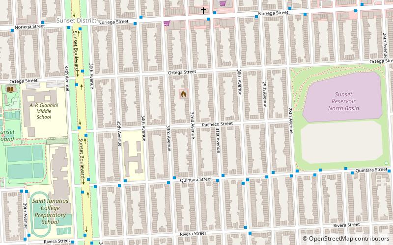
Sunset District, San Francisco
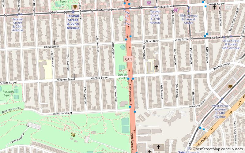
Map
Facts and practical information
The Sunset District is a neighborhood located in the southwest quadrant of San Francisco, California, United States. ()
Address
Southwest San Francisco (Outer Sunset)San Francisco
ContactAdd
Social media
Add
Getting there by public transportation
Public transportation stops near this location
- Bus
- Light rail
- Train
 Bus
Bus
- Calculate routeNoriega Street & 31st Avenue 7 min walk
- Calculate routeSunset Boulevard & Pacheco Street 7 min walk
- Calculate routeTaraval Street & 32nd Avenue 14 min walk
- Calculate routeTaraval Street & 30th Avenue 14 min walk
- Calculate routeTaraval Street & Sunset Boulevard 16 min walk
- Calculate routeTaraval Street & 26th Avenue 16 min walk
- Calculate routeTaraval Street & Sunset Boulevard 16 min walk
- Calculate routeTaraval Street & 22nd Avenue 20 min walk
- Calculate routeJudah Street & 19th Avenue 28 min walk
- Calculate routeJudah Street & La Playa Street 32 min walk
Maps Muni Metro
Muni MetroDay trips


Frequently Asked Questions (FAQ)
Which popular attractions are close to Sunset District?
Nearby attractions include San Francisco Public Library - Ortega Branch, San Francisco (12 min walk), Holy Name of Jesus Church, San Francisco (17 min walk), San Francisco Public Library Parkside Branch, San Francisco (20 min walk).
How to get to Sunset District by public transport?
The nearest stations to Sunset District:
Bus
Light rail
Train
Bus
- Noriega Street & 31st Avenue • Lines: 7 (7 min walk)
- Sunset Boulevard & Pacheco Street • Lines: 29 (7 min walk)
Light rail
- Taraval Street & 32nd Avenue (14 min walk)
- Taraval Street & 30th Avenue (14 min walk)
Train
- Taraval Street & Sunset Boulevard (16 min walk)
- Taraval Street & 22nd Avenue (20 min walk)