Larsen Park, San Francisco
Map
Facts and practical information
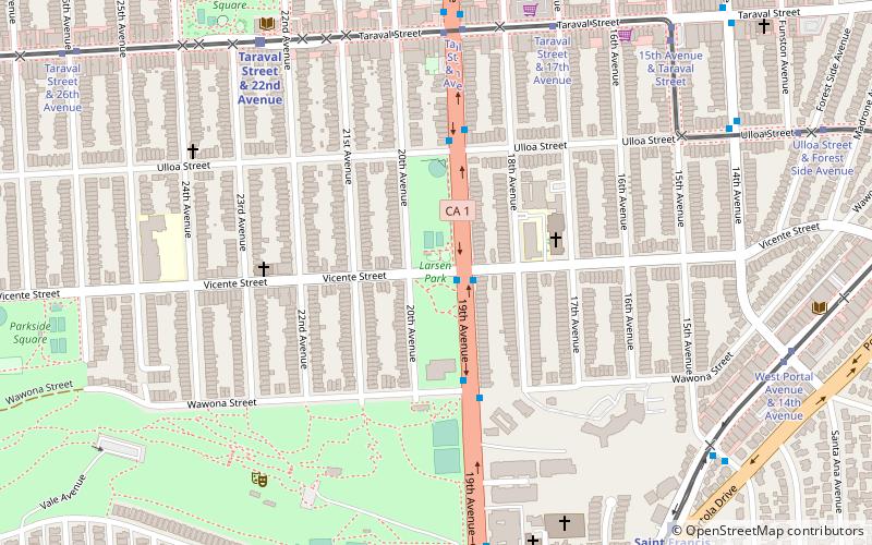
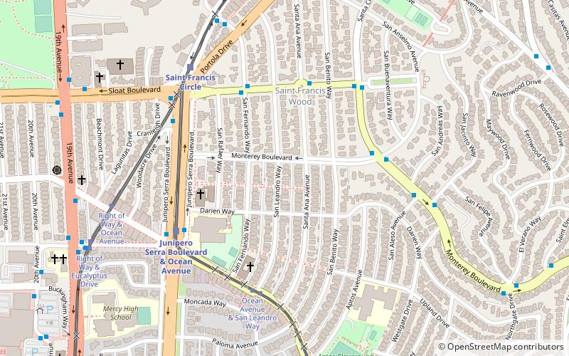
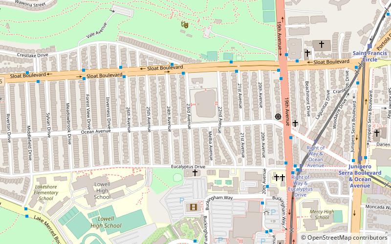
Carl Larsen Park is a 6.6-acre neighborhood park in the Parkside District of San Francisco. It lies on the west side of 19th Avenue, at the intersection with Vicente, and just north of Stern Grove. The park is named for Carl Larsen, a chicken rancher, who donated the land for the park to the City in 1926. Larsen Park features a baseball diamond, tennis court, basketball court, playground and indoor pool; the pool, formerly named Larsen Pool, is now named for local swimming instructor Charlie Sava. ()
Created: 1927Elevation: 292 ft a.s.l.Coordinates: 37°44'21"N, 122°28'34"W
Getting there by public transportation
Public transportation stops near this location
- Bus
- Light rail
- Train
 Bus
Bus
- Calculate route19th Avenue & Vicente Street 1 min walk
- Calculate routeTaraval Street & 19th Avenue 7 min walk
- Calculate routeTaraval Street & 17th Avenue 8 min walk
- Calculate routeTaraval Street & 22nd Avenue 8 min walk
- Calculate routeTaraval Street & 23rd Avenue 9 min walk
- Calculate routeTaraval Street & 22nd Avenue 8 min walk
- Calculate routeTaraval Street & Sunset Boulevard 27 min walk
Maps Muni Metro
Muni MetroDay trips


Frequently Asked Questions (FAQ)
Which popular attractions are close to Larsen Park?
Nearby attractions include Sigmund Stern Recreation Grove, San Francisco (7 min walk), San Francisco Public Library Parkside Branch, San Francisco (8 min walk), Merced Manor, San Francisco (13 min walk), St. Francis Wood, San Francisco (14 min walk).
How to get to Larsen Park by public transport?
The nearest stations to Larsen Park:
Bus
Light rail
Train
Bus
- 19th Avenue & Vicente Street • Lines: 28, 91 (1 min walk)
Light rail
- Taraval Street & 19th Avenue (7 min walk)
- Taraval Street & 17th Avenue (8 min walk)
Train
- Taraval Street & 22nd Avenue (8 min walk)
- Taraval Street & Sunset Boulevard (27 min walk)