Virginia Triangle, Minneapolis
Map
Gallery
Facts and practical information
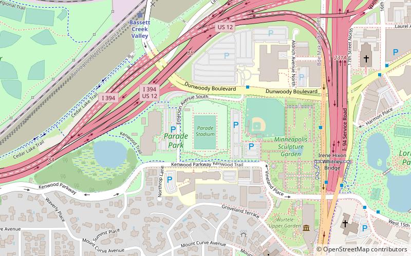
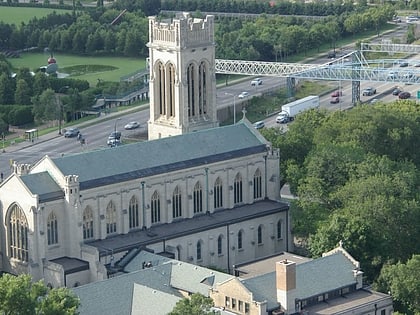
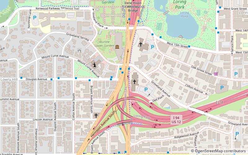
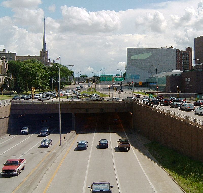
The Virginia Triangle is the commons of Hennepin and Lyndale Avenues on Lowry Hill, Minneapolis. Until 1967, it was a simple intersection, with a small park in the center. Today it contains many on- and off-ramps and a number of large intersections, servicing Hennepin and Lyndale, as well as Interstate 94. Interstate 94 also runs directly under the site, through the Lowry Hill Tunnel. The Walker Art Center and the Basilica of Saint Mary are located adjacent to the Triangle. ()
Coordinates: 44°57'59"N, 93°17'18"W
Address
Calhoun Isles (Lowry Hill)Minneapolis
ContactAdd
Social media
Add
Day trips
Virginia Triangle – popular in the area (distance from the attraction)
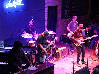
Nearby attractions include: Dakota Jazz Club, Spoonbridge and Cherry, Walker Art Center, Minneapolis Sculpture Garden.
Frequently Asked Questions (FAQ)
Which popular attractions are close to Virginia Triangle?
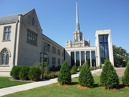
Nearby attractions include Hennepin Avenue United Methodist Church, Minneapolis (1 min walk), Lowry Hill Tunnel, Minneapolis (2 min walk), Walker Art Center, Minneapolis (2 min walk), Groveland Gallery, Minneapolis (4 min walk).
How to get to Virginia Triangle by public transport?
The nearest stations to Virginia Triangle:
Bus
Light rail
Train
Bus
- Groveland Terrace • Lines: 4A, 4L, 4P (1 min walk)
- Groveland Av • Lines: 4, 4B, 4G (1 min walk)
Light rail
- Warehouse District/Hennepin Avenue • Lines: 901, 902 (31 min walk)
- Nicollet Mall • Lines: 901, 902 (32 min walk)
Train
- Target Field (33 min walk)

