Clam Bayou, Saint Petersburg
Map

Map

Facts and practical information
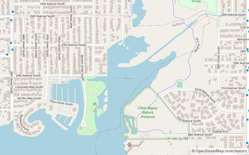
Clam Bayou is a 170-acre estuary between Gulfport, Florida, St. Petersburg, Florida, and Boca Ciega Bay. The neighborhood around the estuary is also known as Clam Bayou. The area is popular with kayakers. It is also home to the 10-acre Clam Bayou Nature Park that includes a canoe and kayak launch point. ()
Elevation: 3 ft a.s.l.Coordinates: 27°44'27"N, 82°41'31"W
Address
Saint Petersburg
ContactAdd
Social media
Add
Day trips
Clam Bayou – popular in the area (distance from the attraction)
Nearby attractions include: Gulfport, Gulfport Marina, Gulfport Public Library, Gulfport Casino Ballroom.
Frequently Asked Questions (FAQ)
How to get to Clam Bayou by public transport?
The nearest stations to Clam Bayou:
Bus
Bus
- 49th Street South & 27th Avenue South • Lines: 23 (13 min walk)
- 28th Avenue South & 49th Street South • Lines: 23 (13 min walk)

 Metro
Metro


