Boca Ciega Bay, Saint Petersburg
Map

Map

Facts and practical information
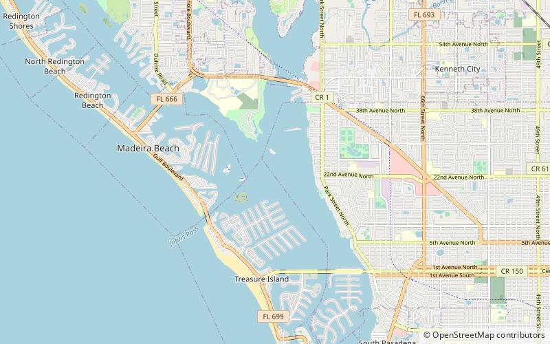
Boca Ciega Bay is a body of water connected to the Gulf of Mexico on the west-central coast of Florida. It is bordered by Gulfport, St. Petersburg, and other municipalities in Pinellas County. Clam Bayou estuary feeds into the bay. ()
Coordinates: 27°47'34"N, 82°45'57"W
Address
Saint Petersburg
ContactAdd
Social media
Add
Day trips
Boca Ciega Bay – popular in the area (distance from the attraction)
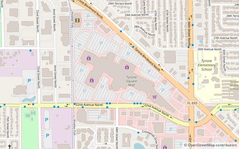
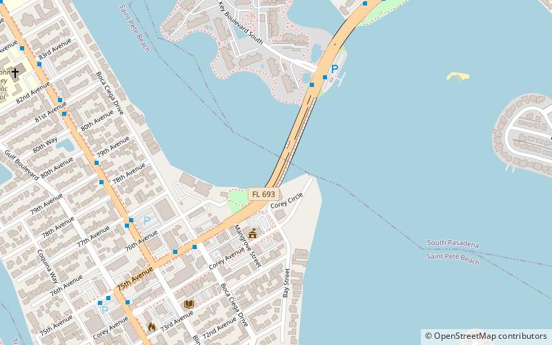
Nearby attractions include: Tyrone Square Mall, Corey Causeway, Treasure Bay Golf, Beach Escape Game.
Frequently Asked Questions (FAQ)
How to get to Boca Ciega Bay by public transport?
The nearest stations to Boca Ciega Bay:
Bus
Bus
- Park Street North & Yardley Avenue North • Lines: 75 (19 min walk)
- Park Street North & 22nd Avenue North • Lines: 5 (19 min walk)

 Metro
Metro


