Gray Whale Cove State Beach, Half Moon Bay

Gallery (1)
Map
Map
Facts and practical information
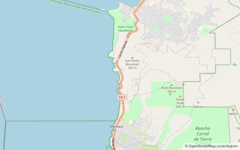
Gray Whale Cove State Beach is a California State Park between Pacifica, California, and Montara, California, by Highway 1 and approximately 18 miles south of San Francisco. It features a sheltered cove surrounded by abrupt cliffs, with trails connecting to nearby Montara Mountain and McNee Ranch State Park. It is located just south of Devil's Slide. The 3.1-acre park was established in 1966. ()
Established: 1966 (60 years ago)Coordinates: 37°33'56"N, 122°30'50"W
Address
Half Moon Bay
ContactAdd
Social media
Add
Day trips


