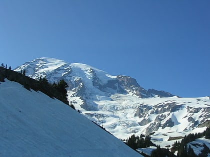
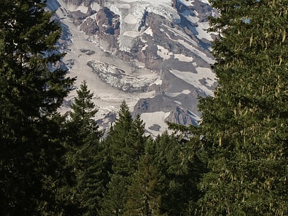
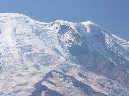
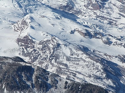
Edmunds Glacier, Mount Rainier National Park
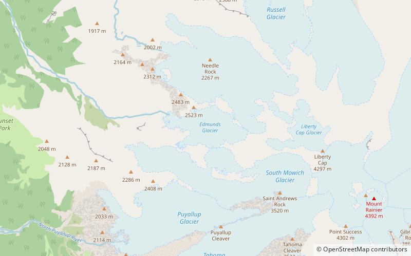
Map
Facts and practical information
Edmunds Glacier is located on Mount Rainier in the U.S. state of Washington. Named in 1883 for George F. Edmunds. The glacier lies on the western flank of the volcano below the steep, rocky Mowich Face and Sunset Face. Starting from an elevation of about 9,900 ft, the glacier flows northwest down to 7,000 ft and ends northeast of the Jeanette Heights region of Mount Rainier. Meltwater from the Edmunds Glacier feeds the Mowich River which eventually merges with the Puyallup River. ()
Length: 6336 ftCoordinates: 46°52'6"N, 121°48'50"W
Address
Mount Rainier National Park
ContactAdd
Social media
Add
Day trips
Edmunds Glacier – popular in the area (distance from the attraction)
Nearby attractions include: Mount Rainier, Spray Falls, Cascade Volcanoes, Cascade Range.
Frequently Asked Questions (FAQ)
Which popular attractions are close to Edmunds Glacier?
Nearby attractions include South Mowich Glacier, Mount Rainier National Park (22 min walk), North Mowich Glacier, Mount Rainier National Park (23 min walk).
