South 10th Street, Omaha
Map
Gallery
Facts and practical information
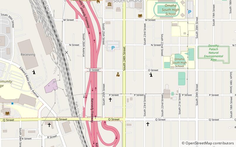
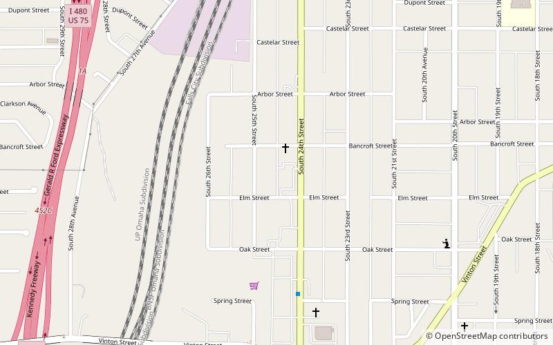
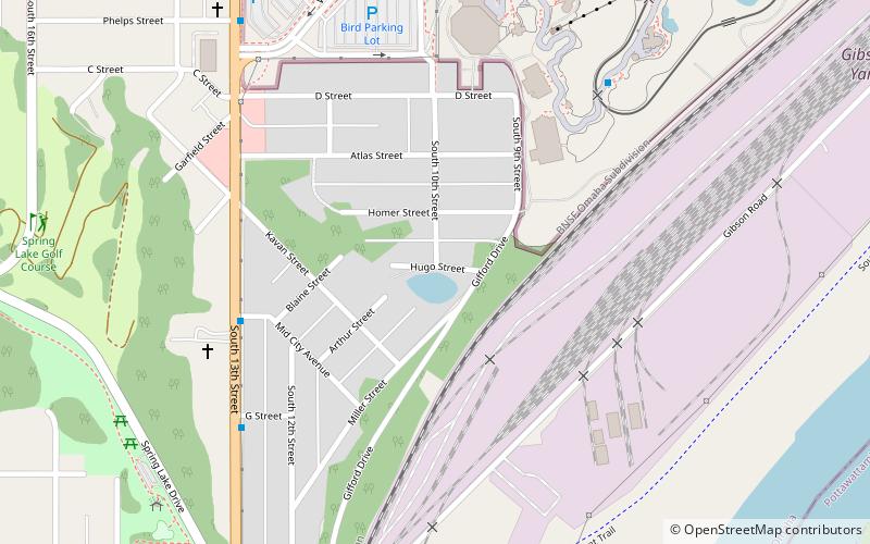
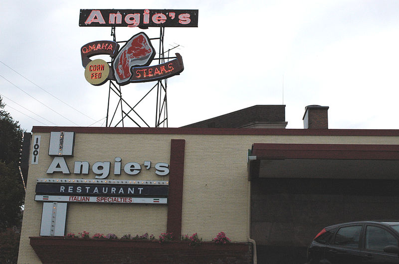
South 10th Street is a two-way street that runs south-north from Downtown into South Omaha, Nebraska. Beginning at Dodge Street, South 10th Street passes Gene Leahy Mall and borders the ConAgra Campus and the Old Market. Its southern reaches are widely regarded as the heart of Little Italy, and further south it was the center of the Old Gold Coast neighborhood. There were several other historically ethnic communities, as well. ()
Coordinates: 41°13'13"N, 95°55'46"W
Address
South Central Omaha (Deer Park)Omaha
ContactAdd
Social media
Add
Day trips
South 10th Street – popular in the area (distance from the attraction)
Nearby attractions include: Henry Doorly Zoo and Aquarium, Lauritzen Gardens, Kenefick Park, El Museo Latino.
Frequently Asked Questions (FAQ)
Which popular attractions are close to South 10th Street?
Nearby attractions include Rosewater School, Omaha (9 min walk), Henry Doorly Zoo and Aquarium, Omaha (11 min walk).


