Clanton Park, Charlotte
Map

Map

Facts and practical information
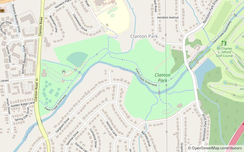
Clanton Park is a 77-acre urban park at 1520 Clanton Road in the West Boulevard neighborhood of Charlotte, North Carolina. It features playgrounds, fields for soccer and softball, eleven basketball courts, picnic shelters, and a gazebo. The park also manages the nearby Clanton community pavilion, a 4,500 square foot indoor facility at 3132 Manchester Avenue. A half-mile section of the Irwin Creek Greenway runs through Clanton Park. ()
Elevation: 617 ft a.s.l.Coordinates: 35°12'27"N, 80°53'16"W
Address
1520 Clanton RoadCenter City (Clanton Park - Roseland)Charlotte
Contact
Social media
Add
Day trips
Clanton Park – popular in the area (distance from the attraction)
Nearby attractions include: Spectrum Center, Truist Field, Bank of America Stadium, Harvey B. Gantt Center.
Frequently Asked Questions (FAQ)
How to get to Clanton Park by public transport?
The nearest stations to Clanton Park:
Bus
Light rail
Bus
- Wilkinson Boulevard at Remount Road • Lines: 35 (30 min walk)
Light rail
- New Bern • Lines: Blue (31 min walk)
- Scaleybark • Lines: Blue (35 min walk)


