Midtown Park, Charlotte
Map
Facts and practical information
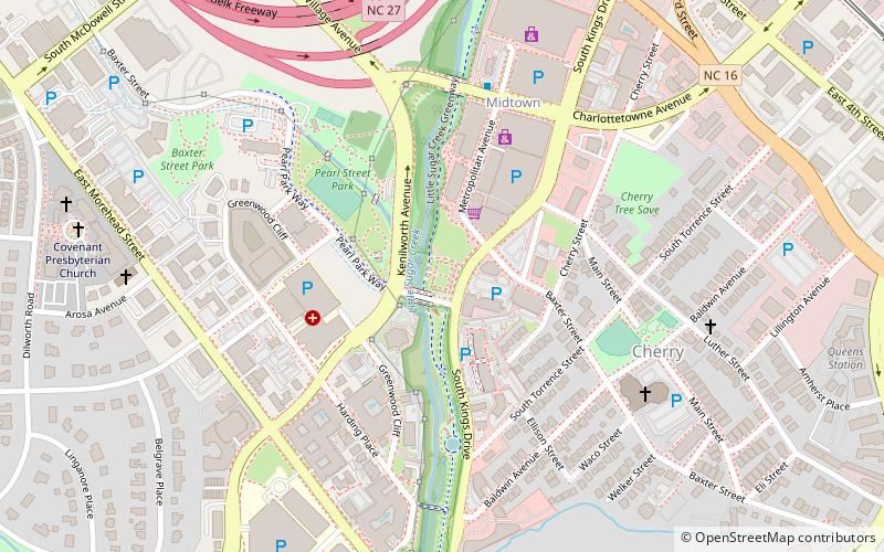
Midtown Park is a one acre minipark at South Kings Drive and Pearl Park Way in Charlotte, North Carolina. Opened in the spring of 2012, it contains stonework and shade trees surrounding a rectangular lawn and is suitable for weddings as well as performance art and other public events. The park features several sculptures, including a seven foot diameter spherical metallic piece called the Braille Music Box by artists Po Shu Wang and Louise Bertelsen. A unique feature of the sculpture is that it can be enjoyed by the sight-impaired. It contains a mechanism which can translate Braille letters into musical notes, and visitors can move the music box within the sculpture to hear this unique music. ()
Created: 2012Elevation: 636 ft a.s.l.Coordinates: 35°12'39"N, 80°50'11"W
Getting there by public transportation
Public transportation stops near this location
- Bus
- Tram
- Light rail
 Bus
Bus
- Calculate routeCPCC Central Campus 14 min walk
- Calculate routeElizabeth & Hawthorne 15 min walk
- Calculate routeHawthorne & 5th Street 18 min walk
- Calculate routeMcDowell Street 19 min walk
- Calculate routeSouth Brevard Street at East Martin Luther King Jr Boulevard 23 min walk
- Calculate routeTransit Center- Bay P 25 min walk
- Calculate routeCharlotte Transportation Center 26 min walk
- Calculate routeStonewall 25 min walk
- Calculate route3rd Street/Convention Center 25 min walk
- Calculate routeCarson 26 min walk
- Calculate routeCTC/Arena 27 min walk
Day trips


Frequently Asked Questions (FAQ)
Which popular attractions are close to Midtown Park?
Nearby attractions include Ascension Lutheran Church, Charlotte (6 min walk), Little Sugar Creek Greenway, Charlotte (6 min walk), Covenant Presbyterian Church, Charlotte (11 min walk), Thompson Park, Charlotte (11 min walk).
How to get to Midtown Park by public transport?
The nearest stations to Midtown Park:
Tram
Bus
Light rail
Tram
- CPCC Central Campus • Lines: Gold (14 min walk)
- Elizabeth & Hawthorne • Lines: Gold (15 min walk)
Bus
- South Brevard Street at East Martin Luther King Jr Boulevard • Lines: 35 (23 min walk)
- Transit Center- Bay P • Lines: 1 (25 min walk)
Light rail
- Stonewall • Lines: Blue (25 min walk)
- 3rd Street/Convention Center • Lines: Blue (25 min walk)