Independence Park, Charlotte
Map

Map

Facts and practical information
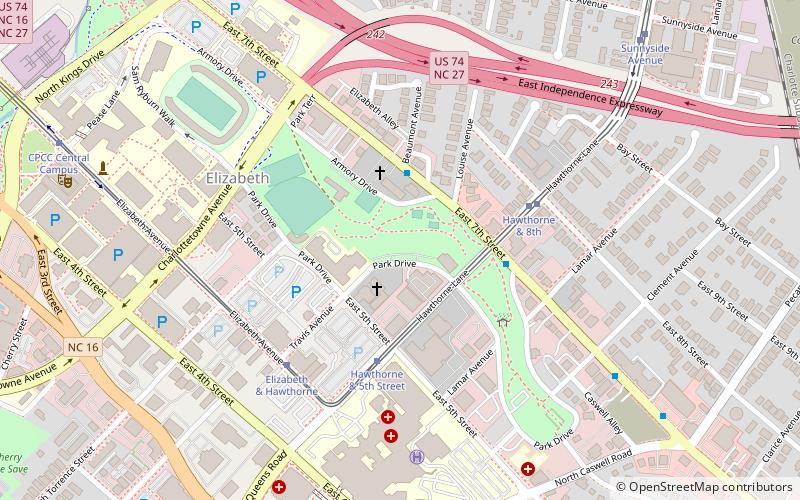
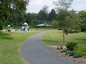
Independence Park is a 24-acre urban park at 300 Hawthorne Lane situated at the western end of the Elizabeth neighborhood in Charlotte, North Carolina. The park was created in 1924 at the urging of Charlotte industrialist Daniel Augustus Tompkins, founder of the Charlotte Observer, and is the oldest public park in Charlotte. ()
Created: 1904Elevation: 686 ft a.s.l.Coordinates: 35°12'57"N, 80°49'27"W
Day trips
Independence Park – popular in the area (distance from the attraction)
Nearby attractions include: Spectrum Center, Levine Museum of the New South, First Ward Park, ImaginOn.
Frequently Asked Questions (FAQ)
Which popular attractions are close to Independence Park?
Nearby attractions include Elizabeth, Charlotte (10 min walk), Central Piedmont Community College, Charlotte (11 min walk), Thompson Park, Charlotte (14 min walk), East Avenue Tabernacle Associate Reformed Presbyterian Church, Charlotte (17 min walk).
How to get to Independence Park by public transport?
The nearest stations to Independence Park:
Tram
Bus
Light rail
Tram
- Hawthorne & 5th Street • Lines: Gold (4 min walk)
- Elizabeth & Hawthorne • Lines: Gold (6 min walk)
Bus
- Transit Center- Bay V • Lines: 35 (29 min walk)
- Charlotte Transportation Center (29 min walk)
Light rail
- 7th Street • Lines: Blue (29 min walk)
- 9th Street • Lines: Blue (30 min walk)


