The Block, Baltimore
Map
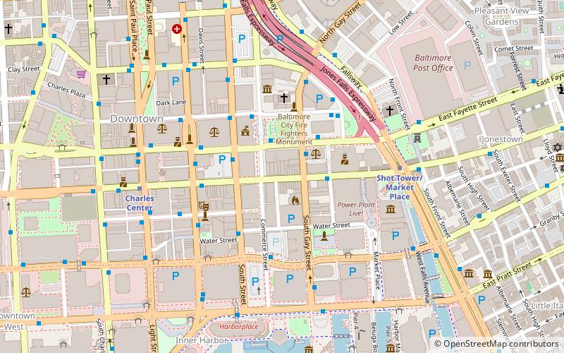
Map

Facts and practical information
Baltimore's The Block is a stretch on the 400 block of East Baltimore Street in Baltimore, Maryland containing several strip clubs, sex shops, and other adult entertainment merchants. During the 19th century, Baltimore was filled with brothels, and in the first half of the 20th century, it was famous for its burlesque houses. It was a noted starting point and stop-over for many noted burlesque dancers, including the likes of Blaze Starr. ()
Coordinates: 39°17'23"N, 76°36'35"W
Address
Central Baltimore (Downtown Baltimore)Baltimore
ContactAdd
Social media
Add
Day trips
The Block – popular in the area (distance from the attraction)
Nearby attractions include: Royal Farms Arena, Baltimore Heritage Walk, National Aquarium, War Memorial Plaza.
Frequently Asked Questions (FAQ)
Which popular attractions are close to The Block?
Nearby attractions include Business and Government Historic District, Baltimore (2 min walk), War Memorial Plaza, Baltimore (2 min walk), Baltimore City Hall, Baltimore (3 min walk), Canton House, Baltimore (3 min walk).
How to get to The Block by public transport?
The nearest stations to The Block:
Bus
Metro
Light rail
Train
Bus
- Gay Street Eastbound • Lines: Green (2 min walk)
- Commerce Street • Lines: Orange (4 min walk)
Metro
- Shot Tower/Market Place • Lines: M (5 min walk)
- Charles Center • Lines: M (7 min walk)
Light rail
- Baltimore Arena • Lines: Lr (14 min walk)
- Lexington Market • Lines: Lr (15 min walk)
Train
- Baltimore Camden Station (18 min walk)


