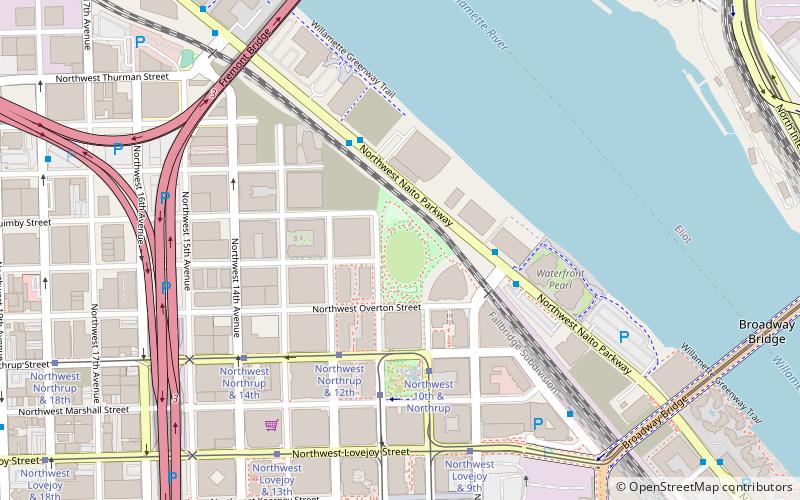
The Fields Park, Portland
Map

Map

Facts and practical information
The Fields Park is an urban greenspace in Portland, Oregon's Pearl District. Construction of the 3.2-acre park began in 2012 and has been estimated to cost up to $4 million. ()
Elevation: 33 ft a.s.l.Coordinates: 45°31'59"N, 122°40'55"W
Day trips
The Fields Park – popular in the area (distance from the attraction)
Nearby attractions include: Stag PDX, Jimmy Mak's, Embers Avenue, Veterans Memorial Coliseum.
Frequently Asked Questions (FAQ)
Which popular attractions are close to The Fields Park?
Nearby attractions include Vista Pearl, Portland (2 min walk), Cosmopolitan on the Park, Portland (3 min walk), Tanner Springs Park, Portland (4 min walk), Metropolitan Condos, Portland (6 min walk).
How to get to The Fields Park by public transport?
The nearest stations to The Fields Park:
Bus
Tram
Train
Light rail
Bus
- Northwest Naito Parkway & 9th • Lines: 16 (3 min walk)
- 1600 Block Northwest Naito Parkway • Lines: 16 (4 min walk)
Tram
- Northwest Northrup & 12th • Lines: Ns (4 min walk)
- Northwest 10th & Northrup • Lines: B, Ns (4 min walk)
Train
- Portland Union Station (10 min walk)
Light rail
- Union Station/Northwest 6th & Hoyt • Lines: Green, Yellow (13 min walk)
- Union Station/Northwest 5th & Glisan • Lines: Green, Orange, Yellow (14 min walk)


