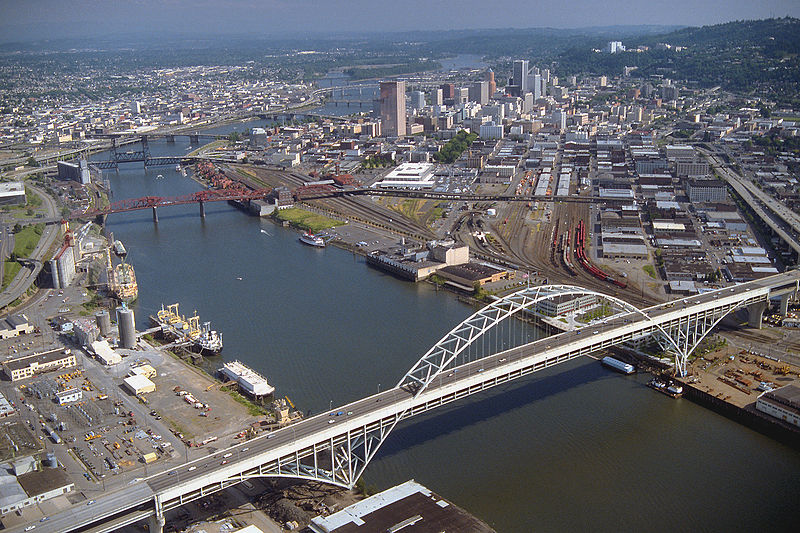
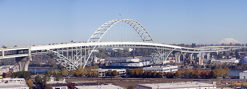
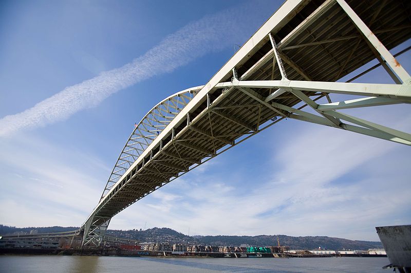
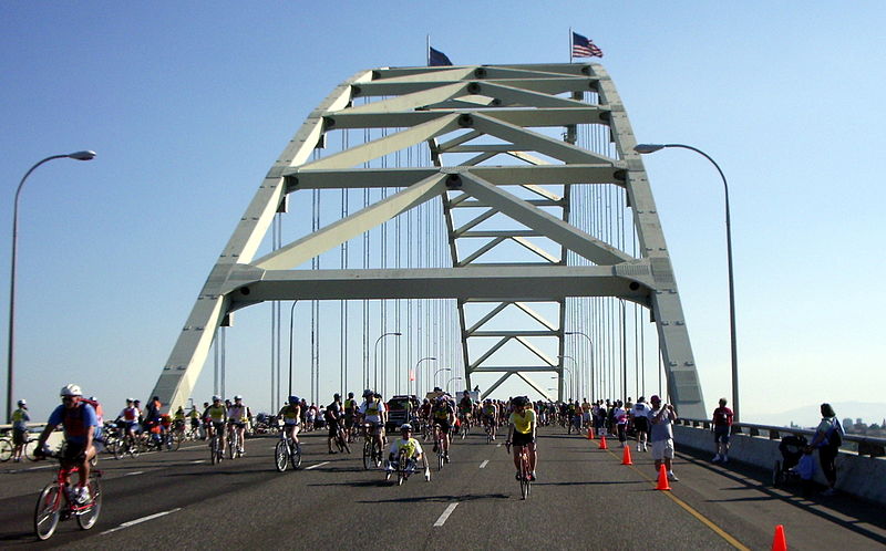
Fremont Bridge, Portland
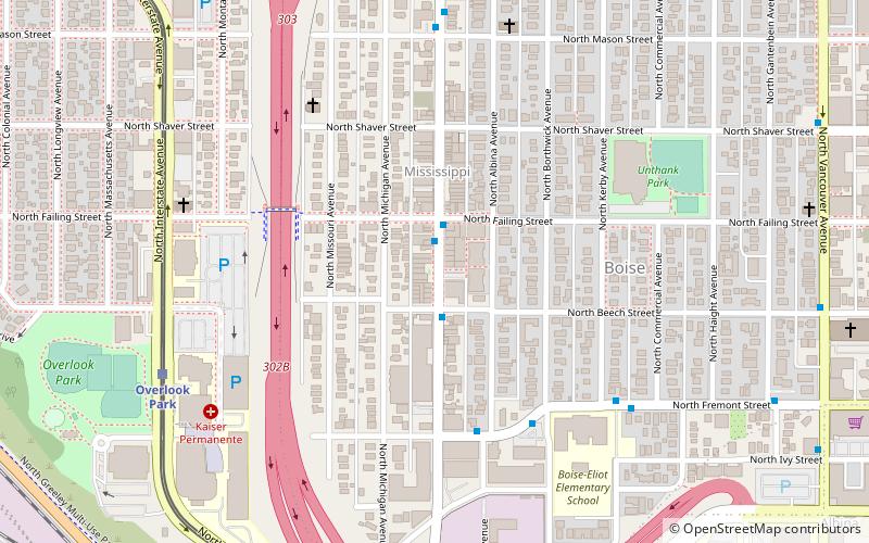
Map
Gallery
Facts and practical information
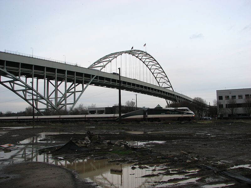
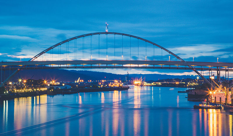
The Fremont Bridge is a steel tied-arch bridge over the Willamette River located in Portland, Oregon, United States. It carries Interstate 405 and US 30 traffic between downtown and North Portland where it intersects with Interstate 5. It has the longest main span of any bridge in Oregon and is the second longest tied-arch bridge in the world. The bridge was designed by Parsons, Brinckerhoff, Quade and Douglas, and built by Murphy Pacific Corporation. ()
Address
Portland
ContactAdd
Social media
Add
Day trips
Fremont Bridge – popular in the area (distance from the attraction)
Nearby attractions include: Mississippi Studios, Stag PDX, Moda Center, Veterans Memorial Coliseum.
Frequently Asked Questions (FAQ)
Which popular attractions are close to Fremont Bridge?
Nearby attractions include West Side CSO Tunnel, Portland (6 min walk), Vista Pearl, Portland (9 min walk), The Fields Park, Portland (9 min walk), Smithson and McKay Brothers Blocks, Portland (11 min walk).
How to get to Fremont Bridge by public transport?
The nearest stations to Fremont Bridge:
Bus
Light rail
Tram
Train
Bus
- Northwest Front & 15th • Lines: 16 (5 min walk)
- 1600 Block Northwest Naito Parkway • Lines: 16 (6 min walk)
Light rail
- Albina/Mississippi • Lines: Yellow (10 min walk)
- Overlook Park • Lines: Yellow (19 min walk)
Tram
- Northwest Northrup & 12th • Lines: Ns (12 min walk)
- Northwest 10th & Northrup • Lines: B, Ns (13 min walk)
Train
- Portland Union Station (18 min walk)


