Third Avenue Bridge, Minneapolis

Facts and practical information
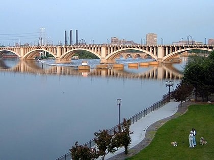
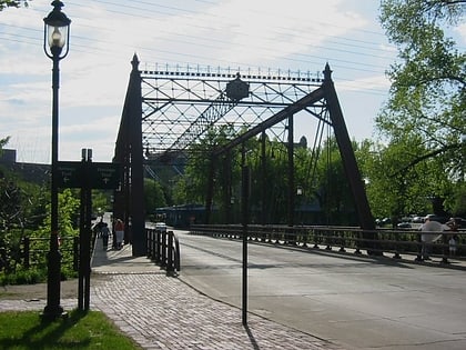
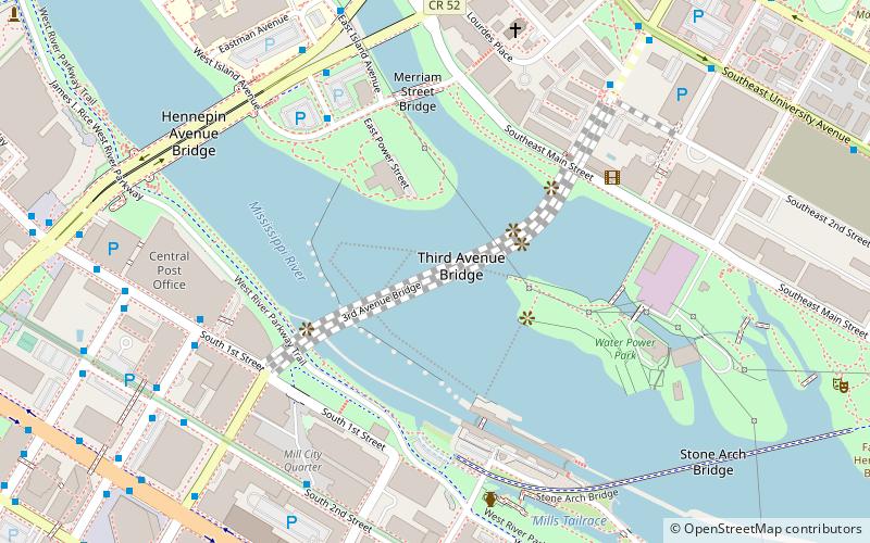
The Third Avenue Bridge is a landmark structure of the city of Minneapolis, Minnesota, United States, originally known as the St. Anthony Falls Bridge. It carries road traffic across the Mississippi River and upper fringes of Saint Anthony Falls. The multi-arched bridge meets with Third Avenue in downtown Minneapolis at its south end, but curves as it crosses the river, and connects with Central Avenue on its north end. The shallow "S" curve in the bridge was built to avoid fractures in the limestone bedrock that supports the bridge piers. The road is also designated Minnesota State Highway 65. Construction began in 1914, and it opened four years later in 1918. The bridge, which uses Melan arches of an open spandrel design, has been modified since that time. The 2,223-foot crossing was designed by city engineer Frederick W. Cappelen, who also created plans for other similar bridges in Minneapolis such as the Franklin Avenue Bridge. It cost US$862,254.00 at the time of construction. ()
3rd AveUniversity (Nicollet Island - East Bank)Minneapolis 55414
Third Avenue Bridge – popular in the area (distance from the attraction)
Nearby attractions include: Mill City Museum, Saint Anthony Falls, Stone Arch Bridge, Guthrie Theater.
Frequently Asked Questions (FAQ)
Which popular attractions are close to Third Avenue Bridge?
How to get to Third Avenue Bridge by public transport?
Bus
- Wilder St • Lines: 4B, 4G (6 min walk)
- 2nd Avenue & 1st Street • Lines: 250C, 250M, 270 (7 min walk)
Light rail
- Government Plaza • Lines: 901, 902 (15 min walk)
- U.S. Bank Stadium • Lines: 901, 902 (15 min walk)
Train
- Target Field (23 min walk)
