Tomlinson Lift Bridge, New Haven
Map
Map

Facts and practical information
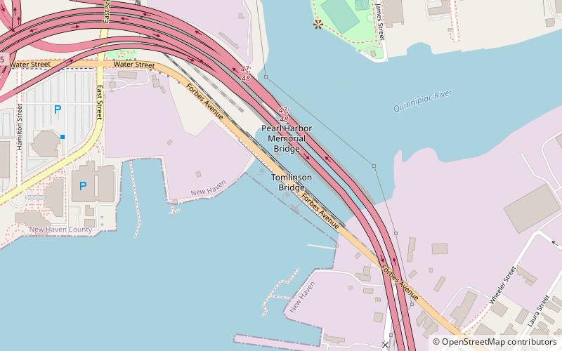
The Tomlinson Lift Bridge is a crossing of the Quinnipiac River in New Haven, Connecticut. The bridge forms a segment of U.S. Route 1. The Tomlinson Vertical Lift Bridge carries four lanes of traffic across New Haven Harbor and a single-track freight line owned by the Providence & Worcester Railroad that connects the waterfront with the Northeast Corridor line of Metro North and CSX. A sidewalk is present along the southern edge of the bridge. ()
Completed: 1797 (229 years ago)Length: 930 ftWidth: 92 ftCoordinates: 41°17'54"N, 72°54'19"W
Address
New Haven
ContactAdd
Social media
Add
Day trips
Tomlinson Lift Bridge – popular in the area (distance from the attraction)
Nearby attractions include: Farmington Canal Heritage Trail, Wooster Square, Woolsey Hall, Connecticut Children's Museum.
Frequently Asked Questions (FAQ)
Which popular attractions are close to Tomlinson Lift Bridge?
Nearby attractions include Q Bridge, New Haven (8 min walk), River Street Historic District, New Haven (10 min walk), Wooster Square, New Haven (18 min walk), Quinnipiac Brewery, New Haven (19 min walk).
How to get to Tomlinson Lift Bridge by public transport?
The nearest stations to Tomlinson Lift Bridge:
Train
Bus
Train
- New Haven-State Street (26 min walk)
- New Haven Union Station (29 min walk)
Bus
- Audubon/Orange • Lines: Orange Line (Day) (30 min walk)
- Orange/Trumbull • Lines: Blue Line (Weekend) (31 min walk)

