Tower Bridge, Sacramento


Facts and practical information
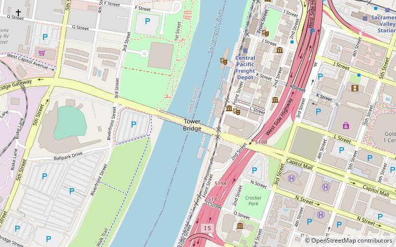
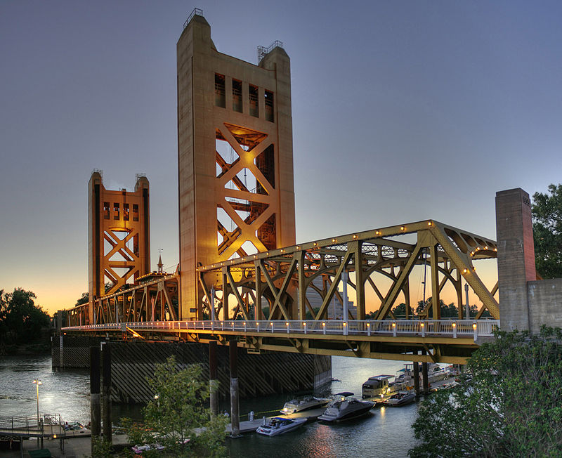
The Tower Bridge is a vertical lift bridge across the Sacramento River, linking West Sacramento in Yolo County to the west, with the capital of California, Sacramento, in Sacramento County to the east. It has also been known as M Street Bridge. It was previously a part of U.S. Route 40 until that highway was truncated to east of Salt Lake City as well as US Route 99W, which served the western portion of the Sacramento Valley from Sacramento to Red Bluff. The bridge is maintained by the California Department of Transportation as part of State Route 275 and connects West Capitol Avenue and Tower Bridge Gateway in West Sacramento with the Capitol Mall in Sacramento. ()
342 L StreetCentral Sacramento (Old Sacramento)Sacramento 95814
Tower Bridge – popular in the area (distance from the attraction)
Nearby attractions include: Old Sacramento, Crocker Art Museum, Downtown Commons, California State Railroad Museum.
Frequently Asked Questions (FAQ)
Which popular attractions are close to Tower Bridge?
How to get to Tower Bridge by public transport?
Train
- Central Pacific Freight Depot (6 min walk)
- Sacramento Valley Station (13 min walk)
Bus
- Sacramento • Lines: 2062, 2064 (8 min walk)
- J St & 4th St • Lines: 70, 99, Md (11 min walk)
Light rail
- Sacramento Valley Station • Lines: Gold (14 min walk)
- 7th & Capitol • Lines: Blue, Gold, Green (14 min walk)


