Capitol Mall, Sacramento

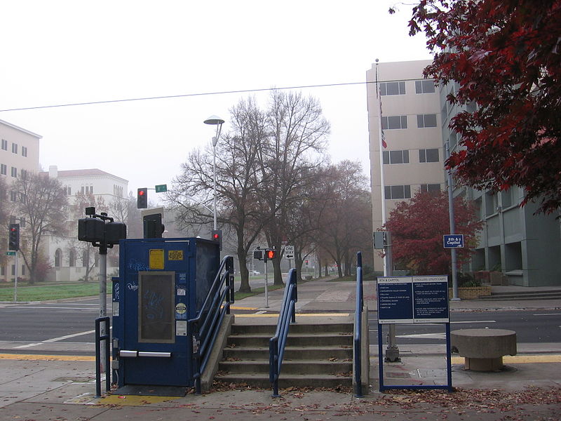
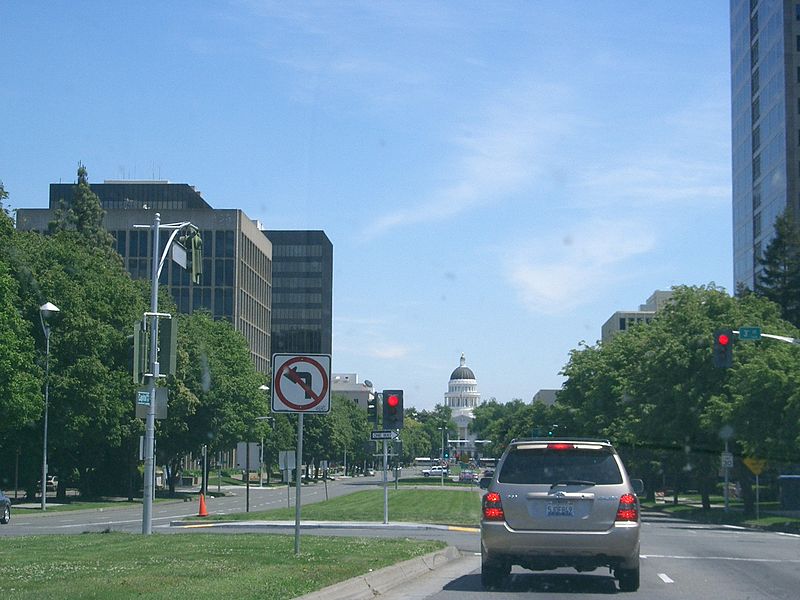
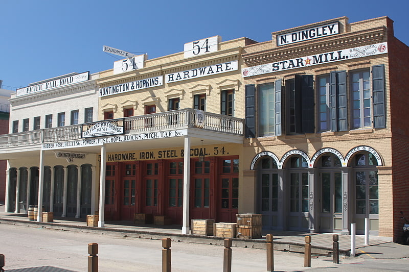
Gallery (7)
Map

Map

Gallery
Facts and practical information
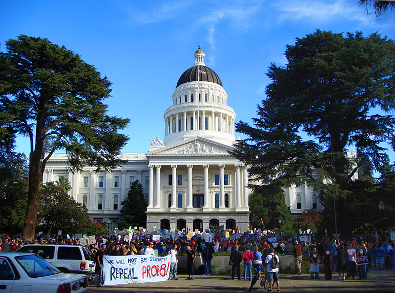
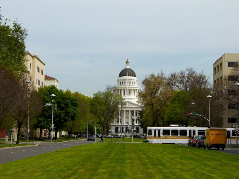
The Capitol Mall or Capitol Mall Boulevard is a major street and landscaped parkway in the state capital city of Sacramento, California. It connects the city of West Sacramento in Yolo County to Downtown Sacramento. Capitol Mall begins at the eastern approach to the Tower Bridge, and runs east to 10th Street and the California State Capitol. ()
Coordinates: 38°34'46"N, 121°30'7"W
Address
Central Sacramento (Downtown Sacramento)Sacramento
ContactAdd
Social media
Add
Getting there by public transportation
Public transportation stops near this location
- Bus
- Light rail
- Train
 Bus
Bus
- Calculate route7th & Capitol 5 min walk
- Calculate route8th & K 8 min walk
- Calculate route7th & Capitol 6 min walk
- Calculate routeJ St & 4th St 6 min walk
- Calculate route8th & Capitol 7 min walk
- Calculate routeP St & 5th St 8 min walk
- Calculate route7th & Capitol 6 min walk
- Calculate route8th & Capitol 7 min walk
- Calculate route8th & K 8 min walk
- Calculate routeCentral Pacific Freight Depot 9 min walk
Day trips
Capitol Mall – popular in the area (distance from the attraction)
Nearby attractions include: Old Sacramento, Crocker Art Museum, Downtown Commons, California State Railroad Museum.


Frequently Asked Questions (FAQ)
Which popular attractions are close to Capitol Mall?
Nearby attractions include Towers on Capitol Mall, Sacramento (2 min walk), Wells Fargo Center, Sacramento (3 min walk), Golden 1 Center, Sacramento (4 min walk), California State Military Museum, Sacramento (6 min walk).
How to get to Capitol Mall by public transport?
The nearest stations to Capitol Mall:
Light rail
Bus
Train
Light rail
- 7th & Capitol • Lines: Blue, Gold, Green (5 min walk)
- 8th & K • Lines: Gold, Green (8 min walk)
Bus
- 7th & Capitol (6 min walk)
- J St & 4th St • Lines: 70, 99, Md (6 min walk)
Train
- 7th & Capitol (6 min walk)
- 8th & Capitol (7 min walk)