Twin Peaks Wilderness, Salt Lake City

Map
Facts and practical information
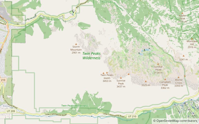
Twin Peaks Wilderness is a 11,396 acres wilderness area in the Wasatch Range of Uinta-Wasatch-Cache National Forest in Salt Lake County, Utah, United States. The Mount Olympus Wilderness is directly north of the Twin Peaks Wilderness and separated by Utah State Route 190. The Lone Peak Wilderness is directly to the south and separated by Utah State Route 210. Elevations in the wilderness range from under 5,000 feet to 11,330 feet on Twin Peaks. ()
Established: 1984 (42 years ago)Coordinates: 40°35'58"N, 111°43'34"W
Address
Salt Lake City
ContactAdd
Social media
Add
Day trips
Twin Peaks Wilderness – popular in the area (distance from the attraction)
Nearby attractions include: Cecret Lake, Little Cottonwood Canyon, Doughnut Falls, Lone Peak.


