University Bridge, Saint Cloud
Map
Facts and practical information
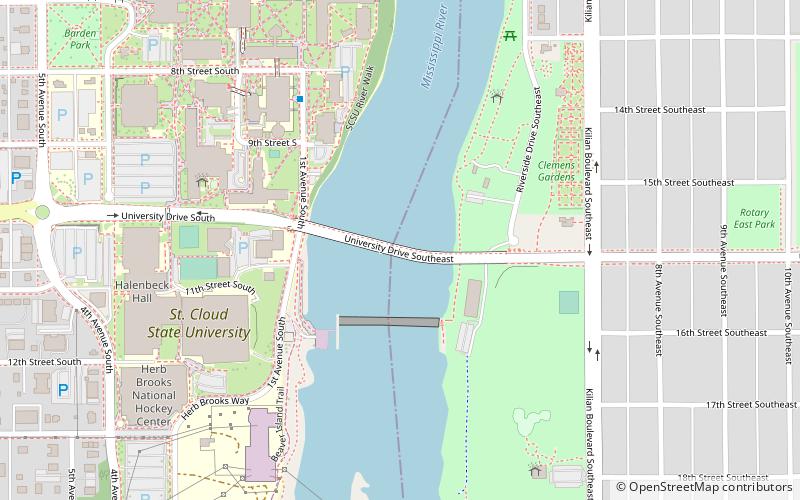
University Bridge is a concrete girder bridge that spans the Mississippi River in Saint Cloud, Minnesota. Built in 1985, and designed by Howard Needles Tammen & Bergendoff, it is the second-newest bridge in St. Cloud, after Granite City Crossing. It is named for its proximity to St. Cloud State University. To accommodate bikers and walkers, the bridge has an approach ramp on one side and steps on the other side. For decoration, a scrollwork pattern is cut into the approach walls' concrete, and the piers are a curved "V" shape. ()
Opened: 1985 (41 years ago)Coordinates: 45°32'56"N, 94°8'49"W
Address
Southeast St. CloudSaint Cloud
ContactAdd
Social media
Add
Getting there by public transportation
Public transportation stops near this location
- Bus
 Bus
Bus
- Calculate routeHusky Hub 10 min walk
- Calculate routeSt. Cloud Transit Center 24 min walk
Day trips
University Bridge – popular in the area (distance from the attraction)
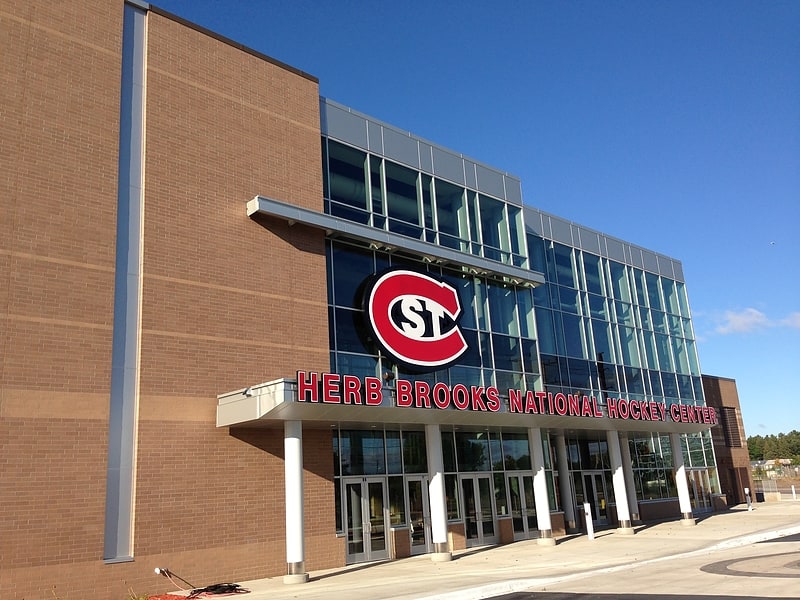
Nearby attractions include: Herb Brooks National Hockey Center, Munsinger Gardens and Clemens Gardens, Granite City Crossing, Cathedral of Saint Mary.


Frequently Asked Questions (FAQ)
Which popular attractions are close to University Bridge?
Nearby attractions include St. Cloud Dam, Saint Cloud (2 min walk), Riverview Hall, Saint Cloud (5 min walk), Munsinger Gardens and Clemens Gardens, Saint Cloud (5 min walk), St. Cloud State University, Saint Cloud (6 min walk).
How to get to University Bridge by public transport?
The nearest stations to University Bridge:
Bus
Bus
- Husky Hub (10 min walk)
- St. Cloud Transit Center (24 min walk)