Granite City Crossing, Saint Cloud
Map
Map

Facts and practical information
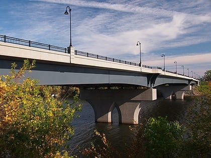
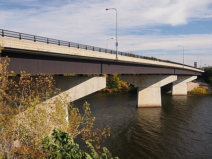
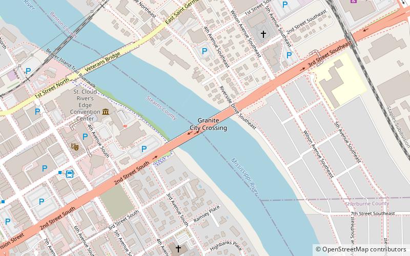
The Granite City Crossing is a bridge that carries Minnesota State Highway 23 across the Mississippi River in the city of St. Cloud, Minnesota, United States. It was built to replace the DeSoto Bridge in the same location. Construction began in the fall of 2008, after the demolition of the DeSoto Bridge was completed. The bridge opened to traffic on October 29, 2009. ()
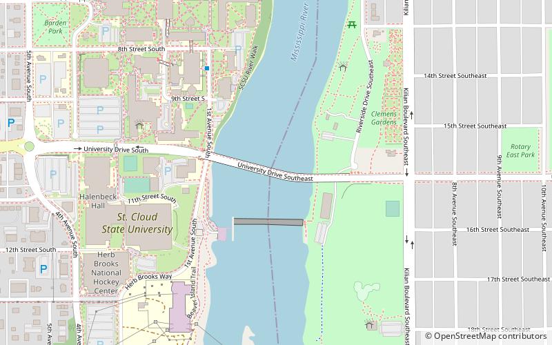
Opened: 2009 (17 years ago)Coordinates: 45°33'40"N, 94°9'6"W
Address
Southeast St. CloudSaint Cloud
ContactAdd
Social media
Add
Day trips
Granite City Crossing – popular in the area (distance from the attraction)
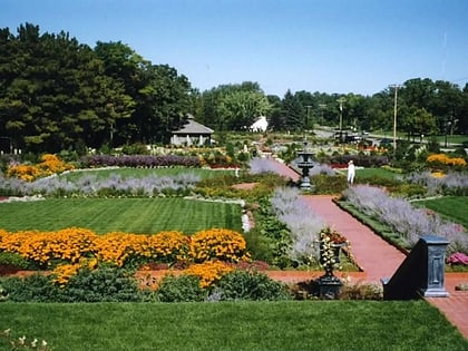
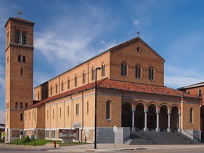
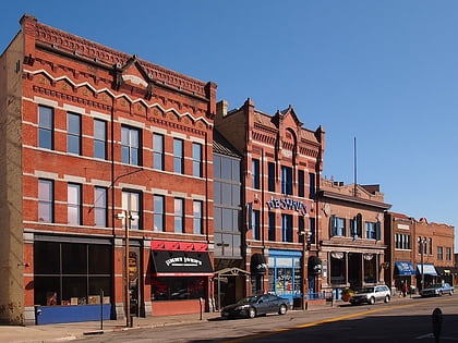
Nearby attractions include: Herb Brooks National Hockey Center, Munsinger Gardens and Clemens Gardens, Cathedral of Saint Mary, Stearns County Courthouse.
Frequently Asked Questions (FAQ)
Which popular attractions are close to Granite City Crossing?
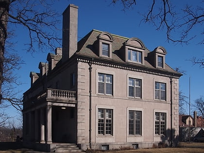
Nearby attractions include Chancery House, Saint Cloud (3 min walk), Nehemiah P. Clarke House, Saint Cloud (6 min walk), Veterans Bridge, Saint Cloud (7 min walk), Fifth Avenue Commercial Buildings, Saint Cloud (7 min walk).
How to get to Granite City Crossing by public transport?
The nearest stations to Granite City Crossing:
Bus
Train
Bus
- St. Cloud Transit Center (8 min walk)
- Husky Hub (30 min walk)
Train
- Saint Cloud (13 min walk)
