Venetian Causeway, Miami
Map
Gallery

Facts and practical information
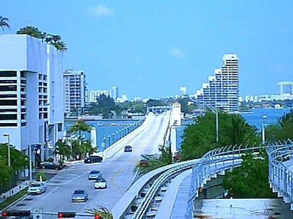
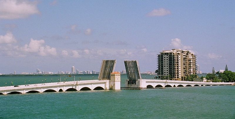
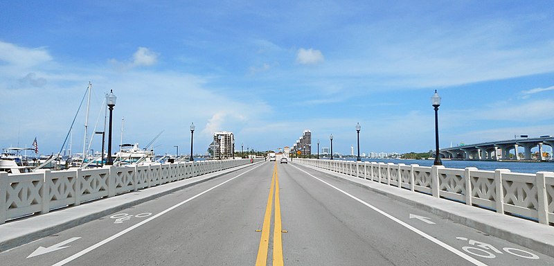
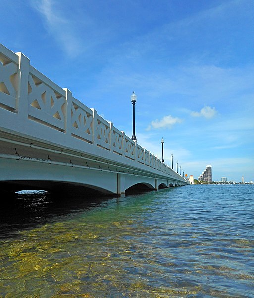
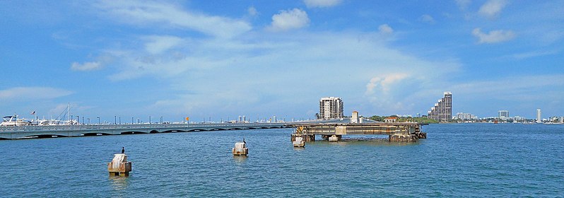
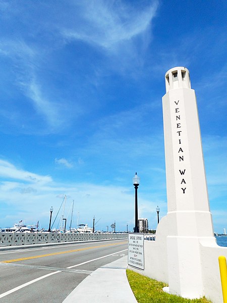
The Venetian Causeway crosses Biscayne Bay between Miami on the mainland and Miami Beach on a barrier island in south Florida. The man-made Venetian Islands and non-bridge portions of the causeway were created by materials which came from the dredging of the bay. The Venetian Causeway follows the original route of the Collins Bridge, a wooden 2.5 mi long structure built in 1913 by John S. Collins and Carl G. Fisher which opened up the barrier island for unprecedented growth and development. ()
Opened: 1925 (101 years ago)Length: 2.8 miCoordinates: 25°47'26"N, 80°9'56"W
Address
Miami
ContactAdd
Social media
Add
Day trips
Venetian Causeway – popular in the area (distance from the attraction)
Nearby attractions include: Jungle Island, Miami Children's Museum, Miami Yacht Club, PortMiami.
Frequently Asked Questions (FAQ)
Which popular attractions are close to Venetian Causeway?
Nearby attractions include Di Lido Island, Miami Beach (11 min walk), Miami Yacht Club, Miami (15 min walk), Hibiscus Island, Miami Beach (16 min walk), Jungle Island, Miami (17 min walk).
How to get to Venetian Causeway by public transport?
The nearest stations to Venetian Causeway:
Bus
Bus
- South Venetian Way & Northeast 13th Place • Lines: 101 (3 min walk)
- North Venetian Way & Northeast 13th Place • Lines: 101 (3 min walk)
