Virginia Museum of Transportation, Roanoke

Gallery (1)
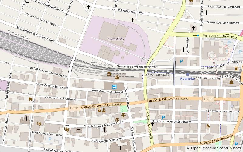
Map
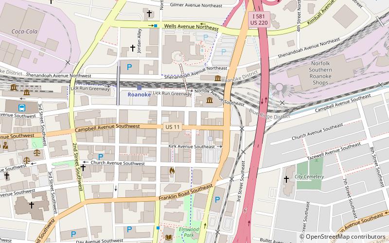
Map
Facts and practical information
The Virginia Museum of Transportation is a museum devoted to the topic of transportation located in Downtown Roanoke, Virginia, US. ()
Established: April 1986 (39 years ago)Coordinates: 37°16'23"N, 79°56'46"W
Getting there by public transportation
Public transportation stops near this location
- Bus
- Train
 Bus
Bus
- Calculate routeRoanoke 7 min walk
- Calculate routeCambell Court Bus Station 7 min walk
Day trips


Frequently Asked Questions (FAQ)
Which popular attractions are close to Virginia Museum of Transportation?
Nearby attractions include Norfolk and Western Railway Freight Station, Roanoke (1 min walk), Roanoke Warehouse Historic District, Roanoke (4 min walk), Salem Avenue–Roanoke Automotive Commercial Historic District, Roanoke (6 min walk), Roanoke Downtown Historic District, Roanoke (6 min walk).
How to get to Virginia Museum of Transportation by public transport?
The nearest stations to Virginia Museum of Transportation:
Train
Bus
Train
- Roanoke (7 min walk)
Bus
- Cambell Court Bus Station (7 min walk)