Wells Fargo Tower, Roanoke
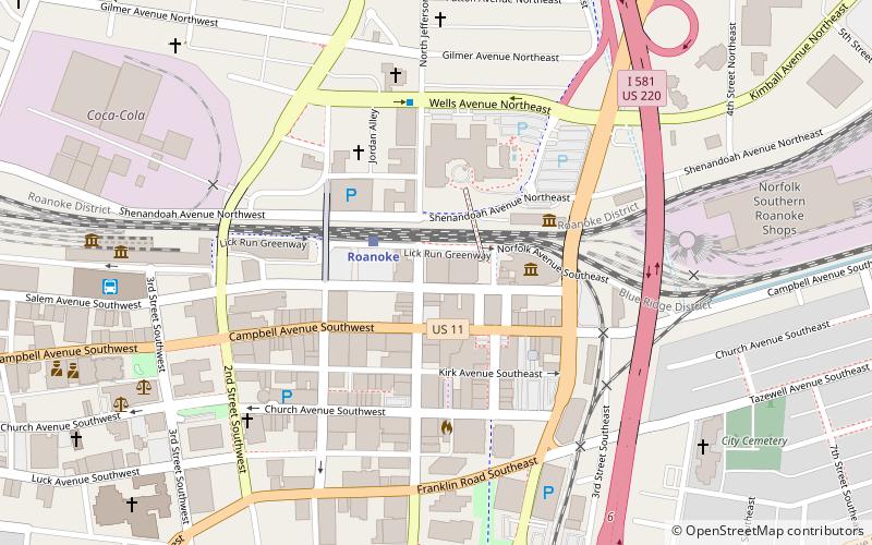
Map

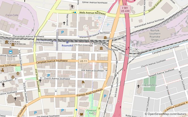
Map

Facts and practical information
The Wells Fargo Tower is a 21-story, 320-foot office building in Downtown Roanoke, Virginia. Completed in 1991, this stands as both the tallest building in Roanoke and the tallest building in Southwest Virginia. ()
Completed: 1991 (35 years ago)Height: 320 ftFloors: 21Coordinates: 37°16'22"N, 79°56'25"W
Address
10 S Jefferson StDowntown RoanokeRoanoke
ContactAdd
Social media
Add
Day trips
Wells Fargo Tower – popular in the area (distance from the attraction)
Nearby attractions include: Berglund Center, Taubman Museum of Art, O. Winston Link Museum, Science Museum of Western Virginia.
Frequently Asked Questions (FAQ)
Which popular attractions are close to Wells Fargo Tower?
Nearby attractions include First National Bank, Roanoke (2 min walk), Roanoke City Market Historic District, Roanoke (2 min walk), Downtown Roanoke, Roanoke (2 min walk), Science Museum of Western Virginia, Roanoke (3 min walk).
How to get to Wells Fargo Tower by public transport?
The nearest stations to Wells Fargo Tower:
Train
Bus
Train
- Roanoke (2 min walk)
Bus
- Cambell Court Bus Station (3 min walk)


