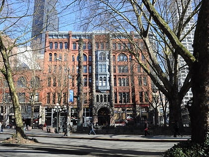
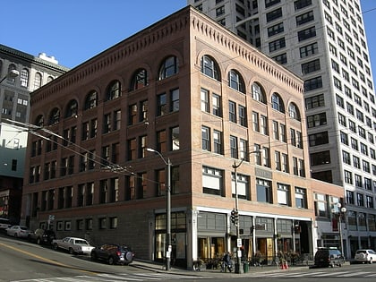
Seattle Municipal Tower, Seattle
Map
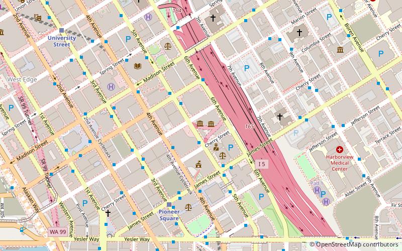
Map

Facts and practical information
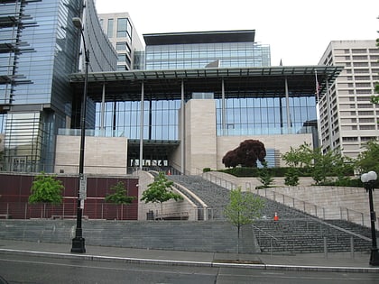
Seattle Municipal Tower is a skyscraper in downtown Seattle, Washington. At 220.07 m, it is the fifth-tallest building in the city. Completed in 1990, it was initially named AT&T Gateway Tower and subsequently KeyBank Tower after its anchor tenants AT&T and KeyBank. It was given its current name on May 17, 2004. ()
Day trips
Seattle Municipal Tower – popular in the area (distance from the attraction)
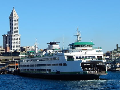
Nearby attractions include: Collins Pub, Smith Tower, Benaroya Hall, ACT Theatre.
Frequently Asked Questions (FAQ)
Which popular attractions are close to Seattle Municipal Tower?
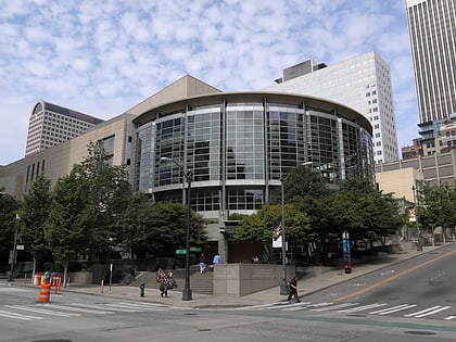
Nearby attractions include Columbia Center, Seattle (2 min walk), Daniels Recital Hall, Seattle (2 min walk), Seattle City Hall, Seattle (2 min walk), 3rd & Cherry, Seattle (4 min walk).
How to get to Seattle Municipal Tower by public transport?
The nearest stations to Seattle Municipal Tower:
Bus
Trolleybus
Light rail
Tram
Ferry
Train
Bus
- 5th Ave & Cherry St • Lines: 630 (1 min walk)
- 4th Avenue & Cherry Street • Lines: 402, 405, 410, 412, 413, 415, 416, 417, 421, 422, 424, 425, 435, 510, 550, 554, 594 (2 min walk)
Trolleybus
- 3rd Ave & Columbia St • Lines: 1, 13, 3, 4, 49 (4 min walk)
- Prefontaine Pl S & Yesler Way • Lines: 1, 13, 49 (7 min walk)
Light rail
- Pioneer Square • Lines: 1 (5 min walk)
- University Street • Lines: 1 (9 min walk)
Tram
- 5th & Jackson • Lines: First Hill Streetcar (11 min walk)
- Occidental Mall • Lines: First Hill Streetcar (11 min walk)
Ferry
- Seattle • Lines: Seattle-Bremerton, Seattle-Winslow (13 min walk)
- West Seattle, Vashon Island Water Taxi • Lines: 339, West Seattle-Seattle (13 min walk)
Train
- Seattle King Street (13 min walk)
- Westlake Center (15 min walk)

