Clinton Square, Syracuse
Map

Gallery

Facts and practical information
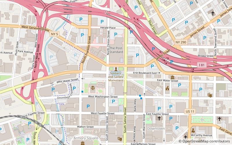
Clinton Square is an intersection in downtown Syracuse, New York, United States. The square was the original town center and first came into existence in the early 19th century where roadways from north and south convened. With the opening of the Erie Canal in 1825 the intersection was further transformed. During the 19th century, the square was a marketplace that also hosted several public events, including an 1870 public barbecue reportedly attended by 20,000 people. ()
Elevation: 397 ft a.s.l.Coordinates: 43°3'3"N, 76°9'10"W
Day trips
Clinton Square – popular in the area (distance from the attraction)
Nearby attractions include: Carrier Dome, Oncenter, Onondaga Creekwalk, Landmark Theatre.
Frequently Asked Questions (FAQ)
Which popular attractions are close to Clinton Square?
Nearby attractions include Courier Building, Syracuse (4 min walk), State Tower Building, Syracuse (4 min walk), Niagara Mohawk Building, Syracuse (5 min walk), Syracuse City Hall, Syracuse (6 min walk).
How to get to Clinton Square by public transport?
The nearest stations to Clinton Square:
Bus
Bus
- B13 • Lines: 176, 186, 76 (13 min walk)
- B12 • Lines: 110, 120, 121, 122, 123, 126, 20, 21, 22, 223, 226, 23, 254, 26, 323, 323X, 326, 410, 426, 526 (13 min walk)


