Onondaga Creekwalk, Syracuse
Map

Gallery

Facts and practical information
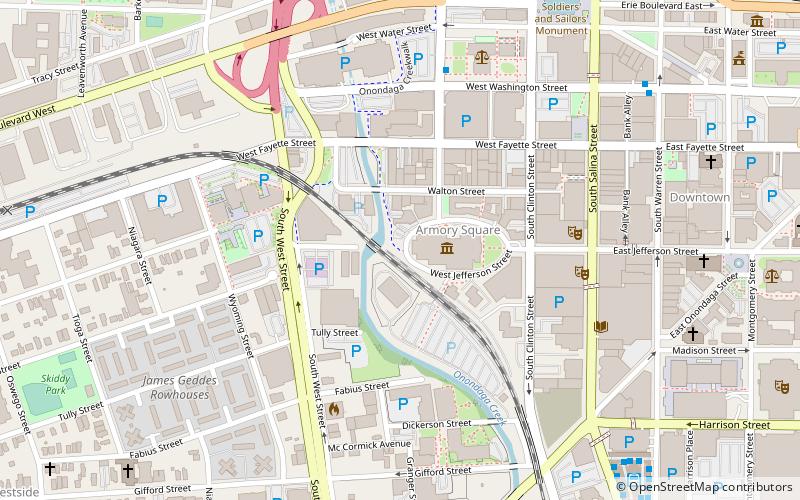
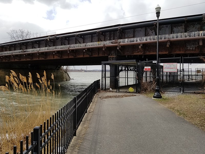
The Onondaga Creekwalk is a mostly paved, partly bricked, multi-use trail running 4.8 miles in Syracuse, New York, which has so far seen more than three decades of planning, construction, and delays, starting in 1988. The trail is designed for bicyclists, skaters, and pedestrians to approximately parallel any desired portion of Onondaga Creek's run connecting Kirk Park on Syracuse's South Side, downstream through downtown at Armory Square, and then on to Onondaga Lake at the creek's ultimate mouth. ()
Coordinates: 43°2'49"N, 76°9'23"W
Address
Downtown SyracuseSyracuse
ContactAdd
Social media
Add
Day trips
Onondaga Creekwalk – popular in the area (distance from the attraction)
Nearby attractions include: Carrier Dome, Oncenter, Clinton Square, Landmark Theatre.
Frequently Asked Questions (FAQ)
Which popular attractions are close to Onondaga Creekwalk?
Nearby attractions include Milton J. Rubenstein Museum of Science and Technology, Syracuse (2 min walk), Armory Square, Syracuse (2 min walk), The Point of Contact Gallery, Syracuse (4 min walk), The Warehouse, Syracuse (4 min walk).
How to get to Onondaga Creekwalk by public transport?
The nearest stations to Onondaga Creekwalk:
Bus
Bus
- A4 • Lines: 184, 58, 84 (9 min walk)
- B12 • Lines: 110, 120, 121, 122, 123, 126, 20, 21, 22, 223, 226, 23, 254, 26, 323, 323X, 326, 410, 426, 526 (9 min walk)


