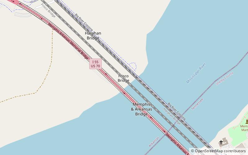
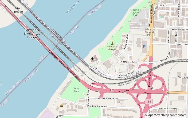
Frisco Bridge, Memphis
Map

Map

Facts and practical information
The Frisco Bridge, previously known as the Memphis Bridge, is a cantilevered through truss bridge carrying a rail line across the Mississippi River between West Memphis, Arkansas, and Memphis, Tennessee. ()
Length: 4887 ftWidth: 30 ftCoordinates: 35°7'51"N, 90°4'44"W
Address
Memphis
ContactAdd
Social media
Add
Day trips
Frisco Bridge – popular in the area (distance from the attraction)
Nearby attractions include: National Civil Rights Museum, Blues Hall of Fame, Tom Lee Park, Metal Museum.
Frequently Asked Questions (FAQ)
Which popular attractions are close to Frisco Bridge?
Nearby attractions include Memphis & Arkansas Bridge, Memphis (4 min walk), Harahan Bridge, Memphis (7 min walk), Big River Crossing, Memphis (7 min walk), Church of the River, Memphis (12 min walk).
How to get to Frisco Bridge by public transport?
The nearest stations to Frisco Bridge:
Train
Tram
Train
- Memphis Central Station (28 min walk)
Tram
- Central Station • Lines: MATA Trolley Main Street Line, MATA Trolley Riverfront Loop (29 min walk)
- Huling Avenue • Lines: MATA Trolley Riverfront Loop (29 min walk)


