Sutro Tower, San Francisco
Map
Gallery
Facts and practical information
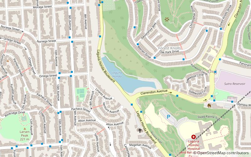
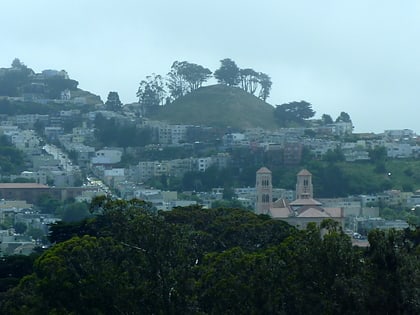
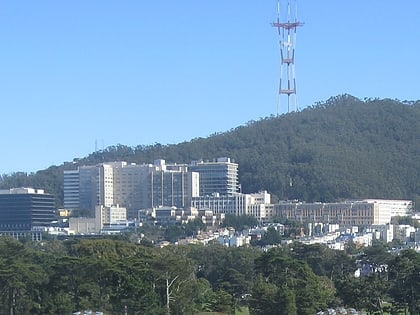
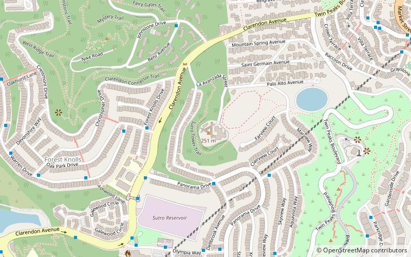
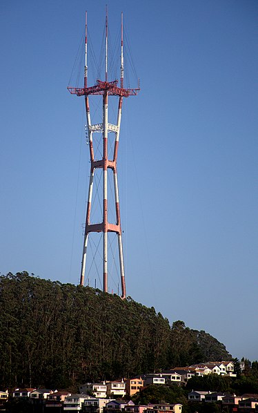
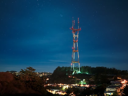
Sutro Tower is a unique three-legged 977 ft tall TV and radio lattice tower located in San Francisco, California. Rising from a hill between Twin Peaks and Mount Sutro near Clarendon Heights, it is a prominent feature of the city skyline and a landmark for city residents and visitors. The tower was the tallest structure in San Francisco from the time of its completion in 1973 until it was surpassed by the Salesforce Tower in 2017. ()
Address
Southwest San Francisco (Clarendon Heights)San Francisco
Contact
(415) 681-8850
Social media
Add
Day trips
Sutro Tower – popular in the area (distance from the attraction)
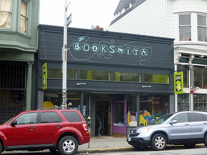
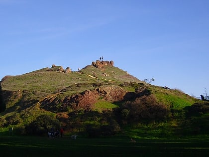
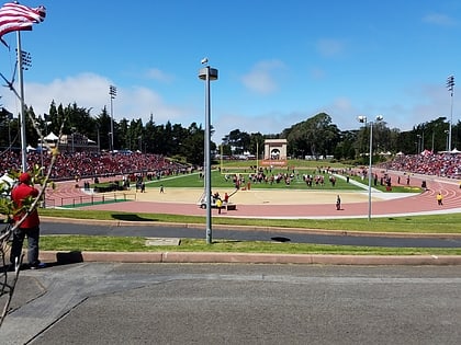
Nearby attractions include: GLBT History Museum, Booksmith, Corona Heights Park, Kezar Stadium.
Frequently Asked Questions (FAQ)
Which popular attractions are close to Sutro Tower?
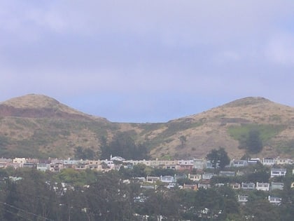
Nearby attractions include Mount Sutro, San Francisco (8 min walk), Forest Knolls, San Francisco (9 min walk), Twin Peaks, San Francisco (10 min walk), Twin Peaks, San Francisco (10 min walk).
How to get to Sutro Tower by public transport?
The nearest stations to Sutro Tower:
Bus
Trolleybus
Light rail
Train
Tram
Bus
- Panorama Drive & Dellbrook Avenue • Lines: 3652 (4 min walk)
- Clarendon Avenue & Panorama Drive • Lines: 3652 (5 min walk)
Trolleybus
- Clayton Street & Corbett Avenue • Lines: 33 (12 min walk)
Light rail
- Forest Hill • Lines: K, S, T (16 min walk)
- Irving Street & Arguello Boulevard • Lines: N (18 min walk)
Train
- UCSF Parnassus (18 min walk)
- Carl Street & Cole Street (19 min walk)
Tram
- 17th Street & Castro Street • Lines: F (29 min walk)
- Market Street & Noe Street • Lines: F (32 min walk)
 Muni Metro
