Corona Heights Park, San Francisco

Gallery (10)
Map

Map

Gallery
Facts and practical information
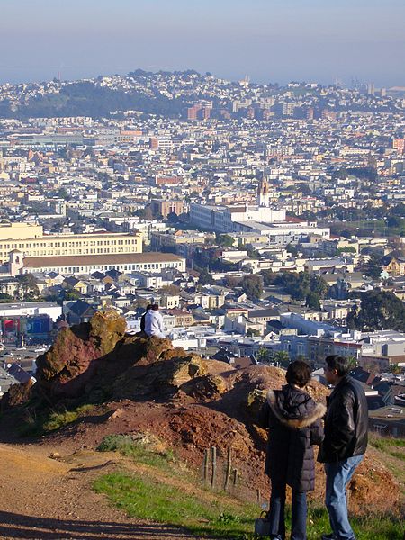
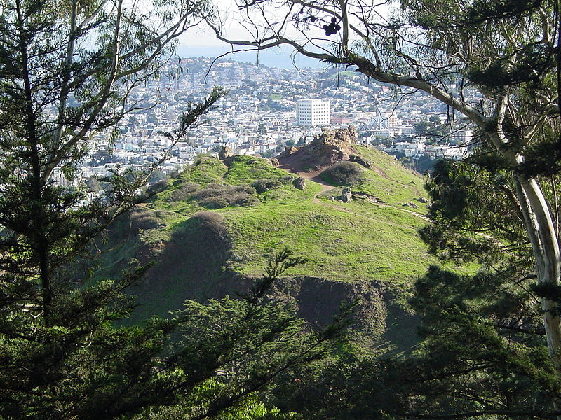
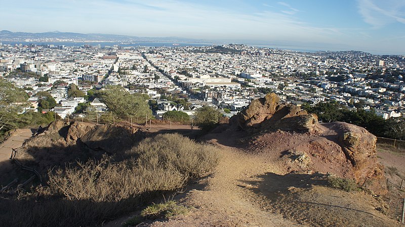
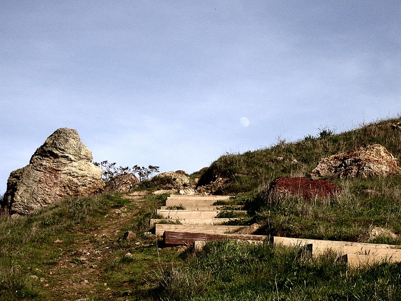
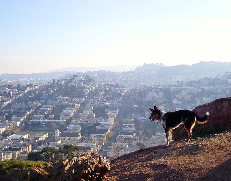
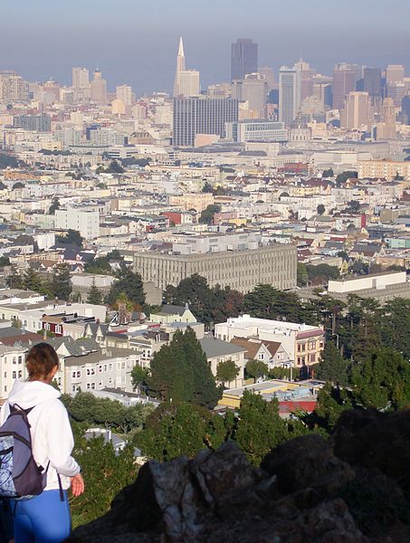
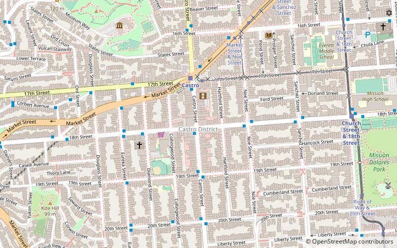
Corona Heights Park is a park in the Castro and Corona Heights neighborhoods of San Francisco, California, United States. It is situated immediately to the south of Buena Vista Park. Corona Heights is bounded in part by Flint Street on the east, Roosevelt Way to the north, and 16th Street to the south. The base of the hill is at approximately 300 feet, while the peak extends to 520 feet above sea level. ()
Elevation: 440 ft a.s.l.Coordinates: 37°45'54"N, 122°26'20"W
Address
Roosevelt Way and Castro StreetSouthwest San Francisco (Corona Heights)San Francisco 94114
Contact
+1 415-831-2750
Social media
Add
Getting there by public transportation
Public transportation stops near this location
- Metro
- Bus
- Trolleybus
- Tram
- Light rail
- Train
 Metro
Metro
- Calculate routeRoosevelt Way & 15th Street 3 min walk
- Calculate routeBuena Vista Terrace & Roosevelt Way 4 min walk
- Calculate routeCastro Street & 15th Street 6 min walk
- Calculate routeCastro 7 min walk
- Calculate routeSunset Tunnel East Portal 11 min walk
- Calculate routeChurch 14 min walk
- Calculate routeChurch Street & 16th Street 15 min walk
- Calculate route17th Street & Castro Street 8 min walk
- Calculate routeMarket Street & Church Street 15 min walk
- Calculate routeCarl Street & Cole Street 16 min walk
- Calculate routeUCSF Parnassus 27 min walk
- Calculate route16th Street Mission 27 min walk
- Calculate route24th Street Mission 36 min walk
Maps Muni Metro
Muni MetroDay trips
Corona Heights Park – popular in the area (distance from the attraction)
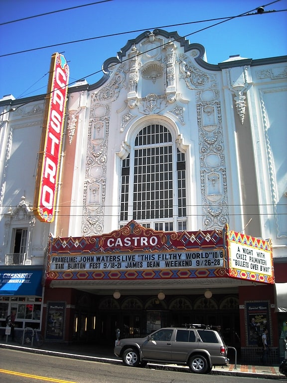
Nearby attractions include: Haight Street, GLBT History Museum, Wiggle Bicycles, Mission Dolores.


Frequently Asked Questions (FAQ)
Which popular attractions are close to Corona Heights Park?
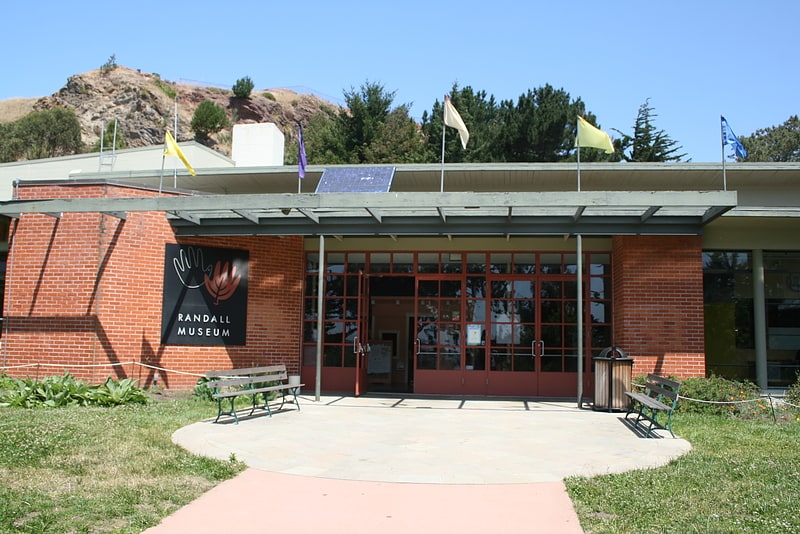
Nearby attractions include Randall Museum, San Francisco (2 min walk), Buena Vista Park, San Francisco (6 min walk), Twin Peaks Tunnel, San Francisco (7 min walk), Pink Triangle Park, San Francisco (7 min walk).
How to get to Corona Heights Park by public transport?
The nearest stations to Corona Heights Park:
Bus
Trolleybus
Light rail
Tram
Train
Metro
Bus
- Roosevelt Way & 15th Street • Lines: 37 (3 min walk)
- Buena Vista Terrace & Roosevelt Way • Lines: 37 (4 min walk)
Trolleybus
- Castro Street & 15th Street • Lines: 24 (6 min walk)
Light rail
- Castro • Lines: K, S, T (7 min walk)
- Sunset Tunnel East Portal • Lines: N (11 min walk)
Tram
- 17th Street & Castro Street • Lines: F (8 min walk)
- Market Street & Church Street • Lines: F (15 min walk)
Train
- Carl Street & Cole Street (16 min walk)
- UCSF Parnassus (27 min walk)
Metro
- 16th Street Mission • Lines: Blue, Green, Red, Yellow (27 min walk)
- 24th Street Mission • Lines: Blue, Green, Red, Yellow (36 min walk)