Bridal Veil Falls, Uncompahgre National Forest

Gallery (2)
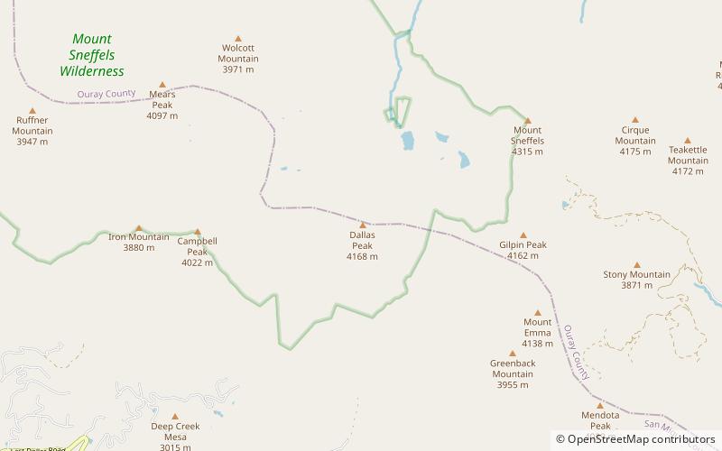
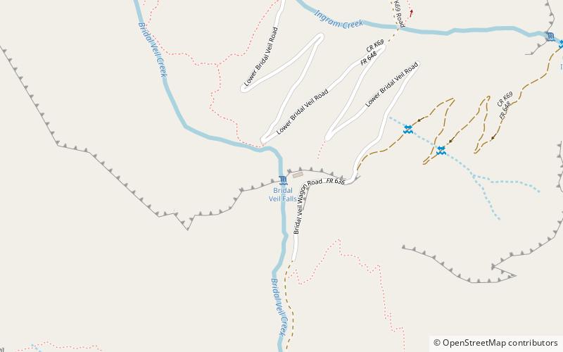
Map
Map
Gallery
Facts and practical information
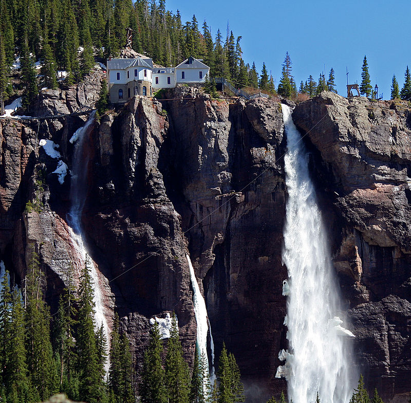
Bridal Veil Falls is a 365-foot waterfall at the end of the box canyon overlooking Telluride, Colorado. Hiking and off-road trails pass by the falls and it has a hydroelectric power plant at its top. In winter the frozen shape of the falls forms an imposing challenge to intrepid ice climbers. ()
Height: 365 ftCoordinates: 37°55'9"N, 107°46'12"W
Address
Uncompahgre National Forest
ContactAdd
Social media
Add
Day trips