Telluride Historic District, Telluride
Map

Map

Facts and practical information
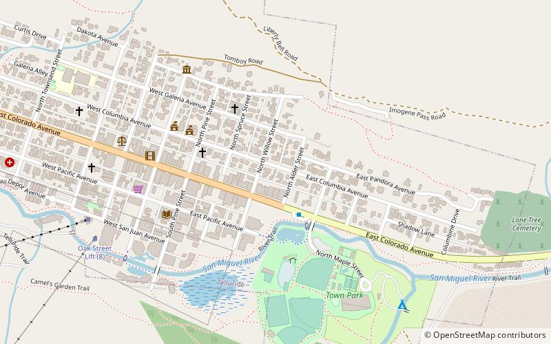
The Telluride Historic District encompasses a significant portion of the developed area of the former mining boom town of Telluride, Colorado. Telluride was founded in 1878, and was a major metals mining center until 1913. The historic district covers 80 acres of downtown Telluride and surrounding residential areas, as well as Lone Tree Cemetery, the town's first cemetery. It was declared a National Historic Landmark in 1961 for its well-preserved late boom-town architecture. ()
Coordinates: 37°56'14"N, 107°48'29"W
Address
Telluride
ContactAdd
Social media
Add
Day trips
Telluride Historic District – popular in the area (distance from the attraction)
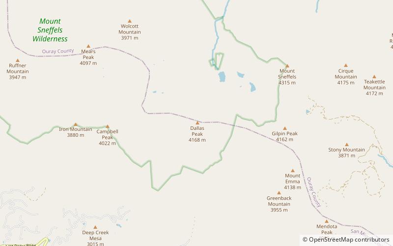
Nearby attractions include: Telluride Ski Resort, Bridal Veil Falls, Mount Sneffels, Gilpin Peak.


