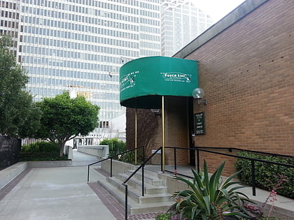
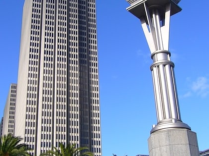
Mills Building and Tower, San Francisco
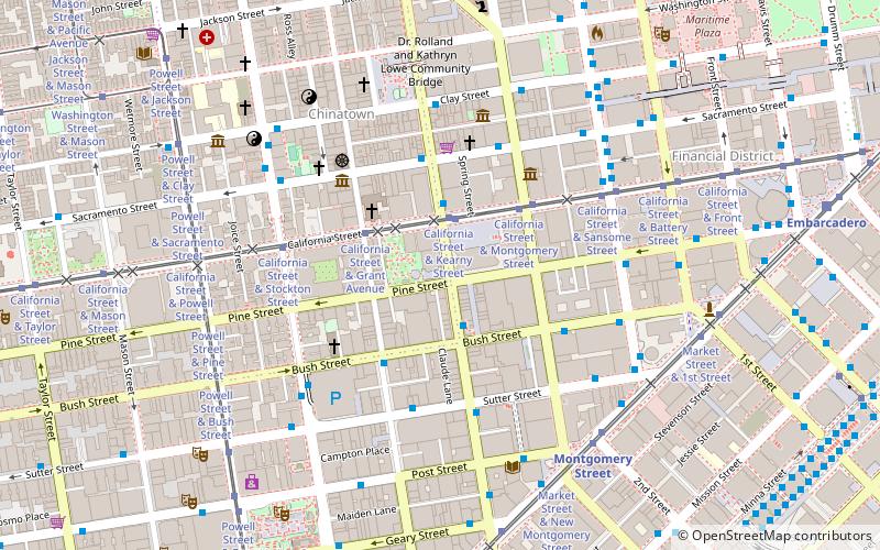
Map
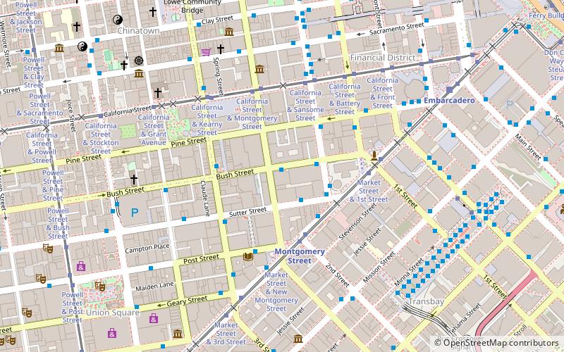
Map

Facts and practical information
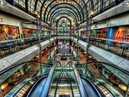
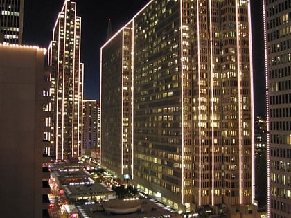
The Mills Building and Tower is a two-building complex following the Chicago school with Romanesque design elements in the Financial District of San Francisco, California. The structures were declared San Francisco Designated Landmark #76, and were listed on the National Register of Historic Places in 1974. ()
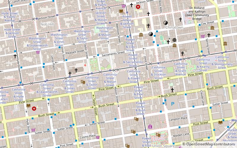
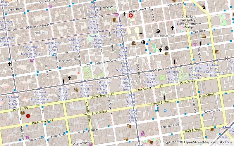
Completed: 1892 (134 years ago)Architectural style: Chicago schoolCoordinates: 37°47'27"N, 122°24'7"W
Day trips
Mills Building and Tower – popular in the area (distance from the attraction)
Nearby attractions include: Yerba Buena Center for the Arts, Union Square, Admission Day Monument, San Francisco Comfort Women Memorial.
Frequently Asked Questions (FAQ)
Which popular attractions are close to Mills Building and Tower?
Nearby attractions include Russ Building, San Francisco (2 min walk), 333 Bush Street, San Francisco (2 min walk), One Sansome Street, San Francisco (2 min walk), Hallidie Building, San Francisco (3 min walk).
How to get to Mills Building and Tower by public transport?
The nearest stations to Mills Building and Tower:
Bus
Tram
Metro
Light rail
Trolleybus
Ferry
Train
Bus
- Sutter Street & Sansome Street • Lines: 15 (2 min walk)
- Sansome Street & Sutter Street • Lines: 12 (3 min walk)
Tram
- Market Street & 2nd Street • Lines: F (3 min walk)
- California Street & Montgomery Street (4 min walk)
Metro
- Montgomery Street • Lines: Blue, Green, Red, Yellow (3 min walk)
- Embarcadero • Lines: Blue, Green, Red, Yellow (9 min walk)
Light rail
- Montgomery Street • Lines: K, N, S, T (4 min walk)
- Embarcadero • Lines: K, N, S, T (8 min walk)
Trolleybus
- Sutter Street & Kearny Street • Lines: 30, 45 (5 min walk)
- Kearny Street & Geary Street • Lines: 30, 45 (5 min walk)
Ferry
- Ferry Building Gate B • Lines: San Francisco Bay Ferry (17 min walk)
Train
- San Francisco 4th & King Street (28 min walk)

 Muni Metro