Whitefield Square, Savannah
Map

Map

Facts and practical information
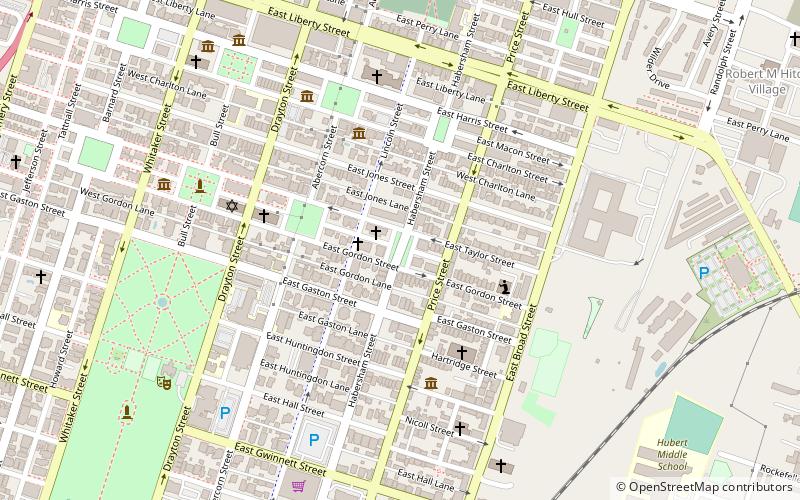
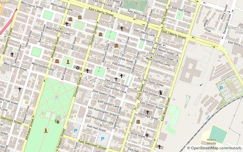
Whitefield Square is one of the 22 squares of Savannah, Georgia, United States. It is located in the fifth row of the city's five rows of squares, on Habersham Street and East Wayne Street, and was the final square laid out, in 1851. It is south of Troup Square and east of Calhoun Square in the southeastern corner of Savannah's grid of squares. The oldest building on the square is at 412–414 East Taylor Street, which dates to 1855. ()
Elevation: 39 ft a.s.l.Coordinates: 32°4'13"N, 81°5'26"W
Day trips
Whitefield Square – popular in the area (distance from the attraction)
Nearby attractions include: Lafayette Square, Cathedral of St. John the Baptist, Green-Meldrim House, Madison Square.
Frequently Asked Questions (FAQ)
Which popular attractions are close to Whitefield Square?
Nearby attractions include First Congregational Church of Savannah, Savannah (1 min walk), Massie Heritage Center, Savannah (3 min walk), Calhoun Square, Savannah (4 min walk), Flannery O'Connor Childhood Home, Savannah (5 min walk).
How to get to Whitefield Square by public transport?
The nearest stations to Whitefield Square:
Tram
Bus
Tram
- Stop • Lines: Rssc (21 min walk)
Bus
- G • Lines: 17 (21 min walk)
- F • Lines: 29 (21 min walk)


