Turner Creek Park, Hillsboro
Map

Gallery

Facts and practical information
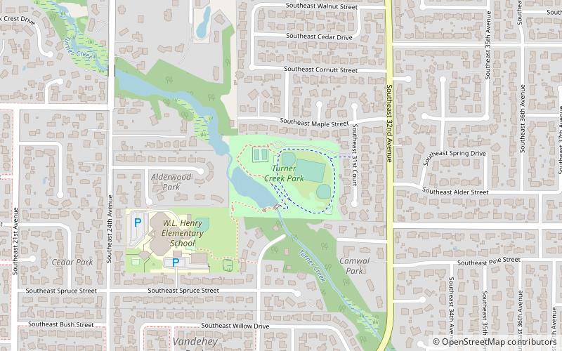
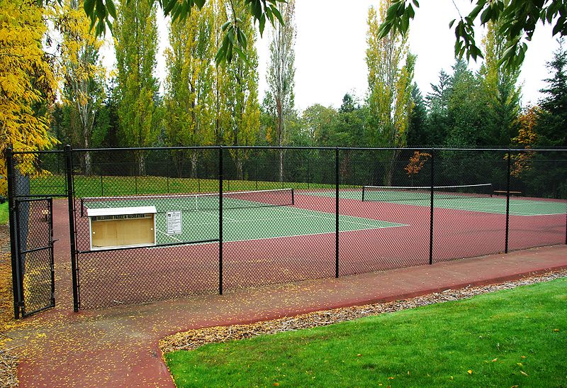
Turner Creek Park is a municipal park in Hillsboro in the U.S. state of Oregon. Opened about 1990, the 12.5-acre park is located in the middle of the city along Turner Creek near southwest 32nd Avenue between Tualatin Valley Highway and Main Street. The park includes a playground, restrooms, several sports facilities, and natural areas with trails. ()
Created: 1990Elevation: 171 ft a.s.l.Coordinates: 45°30'48"N, 122°57'11"W
Day trips
Turner Creek Park – popular in the area (distance from the attraction)
Nearby attractions include: Shute Park Plaza, Sunset Esplanade, Shute Park Aquatic & Recreation Center, Shute Park.
Frequently Asked Questions (FAQ)
Which popular attractions are close to Turner Creek Park?
Nearby attractions include Bicentennial Park, Hillsboro (18 min walk), Main Street Bridge, Hillsboro (20 min walk).
How to get to Turner Creek Park by public transport?
The nearest stations to Turner Creek Park:
Bus
Light rail
Bus
- East Main & Southeast 33rd • Lines: 47 (13 min walk)
Light rail
- Washington/Southeast 12th Avenue • Lines: Blue (25 min walk)
- Fair Complex/Hillsboro Airport • Lines: Blue (26 min walk)


