Witch Hazel, Hillsboro
Map

Gallery

Facts and practical information
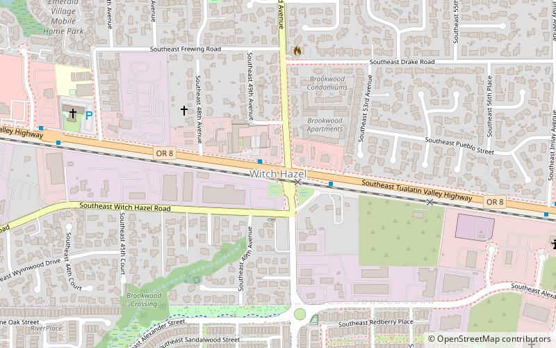
Witch Hazel is a neighborhood of the city of Hillsboro in Washington County, Oregon, United States. Formerly an unincorporated community, and considered a separate populated place by the United States Geological Survey, it is on the Tualatin Valley Highway and the Southern Pacific railroad line a mile west of Reedville. ()
Coordinates: 45°30'1"N, 122°55'52"W
Address
Southeast HillsboroHillsboro
ContactAdd
Social media
Add
Day trips
Witch Hazel – popular in the area (distance from the attraction)
Nearby attractions include: The Reserve, Rood Bridge Park, Noble Woods Park, Turner Creek Park.
Frequently Asked Questions (FAQ)
How to get to Witch Hazel by public transport?
The nearest stations to Witch Hazel:
Bus
Bus
- Southeast Tualatin Valley Highway & Brookwood • Lines: 57 (1 min walk)
- Southwest Tualatin Valley Highway & 44th • Lines: 57 (9 min walk)


