Back Cove, Portland
Map
Gallery
Facts and practical information
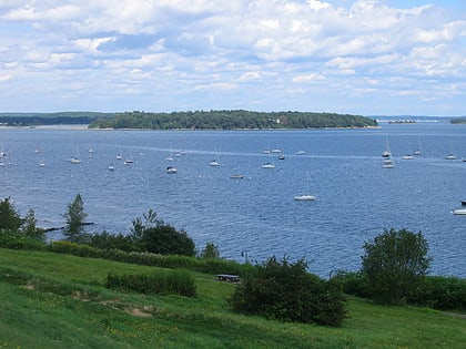
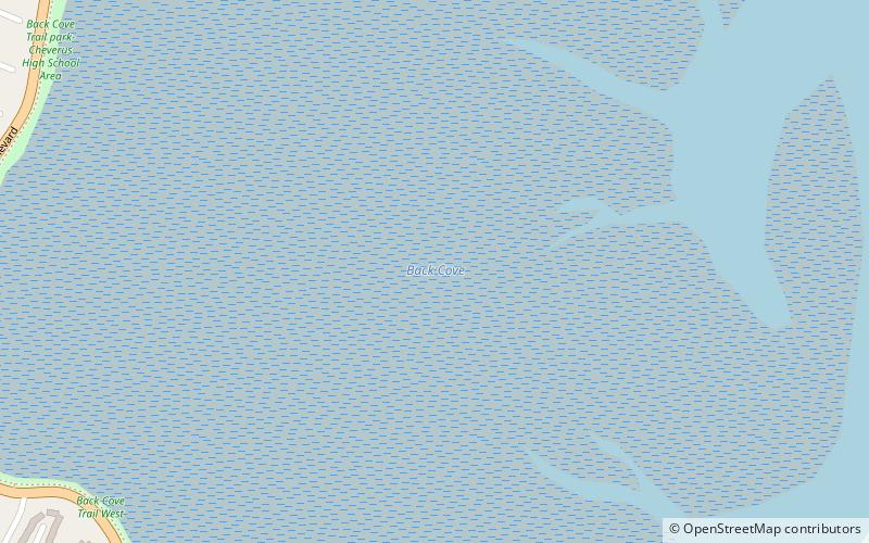
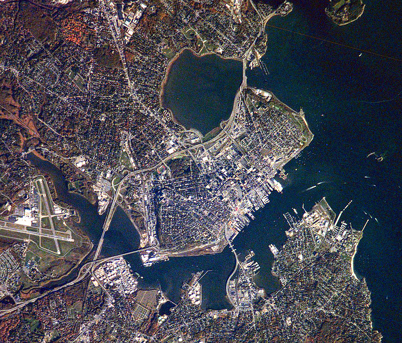
Back Cove is an estuary basin on the northern side of the City of Portland, Maine's downtown district. It is nearly circular and about one mile in diameter. Baxter Boulevard, a popular loop trail, runs around the circumference of the cove. Being tidal, Back Cove dries out to mud flats at low tide and is not commercially navigable. It is sometimes incorrectly referred to as Back Bay. Its mouth is crossed by Interstate 295 on Tukey's Bridge. ()
Elevation: 0 ft a.s.l.Coordinates: 43°40'19"N, 70°16'6"W
Address
Back CovePortland
ContactAdd
Social media
Add
Day trips
Back Cove – popular in the area (distance from the attraction)
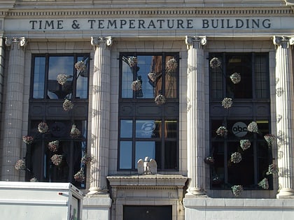
Nearby attractions include: Eastern Promenade, Time and Temperature Building, Cathedral of the Immaculate Conception, Portland Farmers Market.
Frequently Asked Questions (FAQ)
Which popular attractions are close to Back Cove?
Nearby attractions include Payson Park, Portland (17 min walk), Osher Map Library & Smith Center for Cartographic Education, Portland (17 min walk), Tukey's Bridge, Portland (18 min walk), Albert Brenner Glickman Family Library, Portland (18 min walk).
How to get to Back Cove by public transport?
The nearest stations to Back Cove:
Bus
Ferry
Bus
- 693 • Lines: Hsk (19 min walk)
Ferry
- Casco Bay Lines Ferry Terminal (39 min walk)

