South Passage Point Park, Seattle
Map
Gallery
Facts and practical information
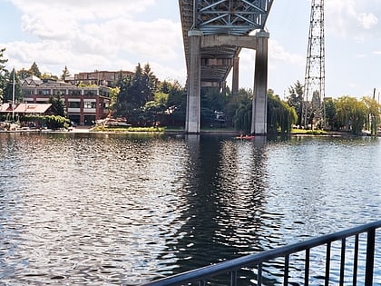
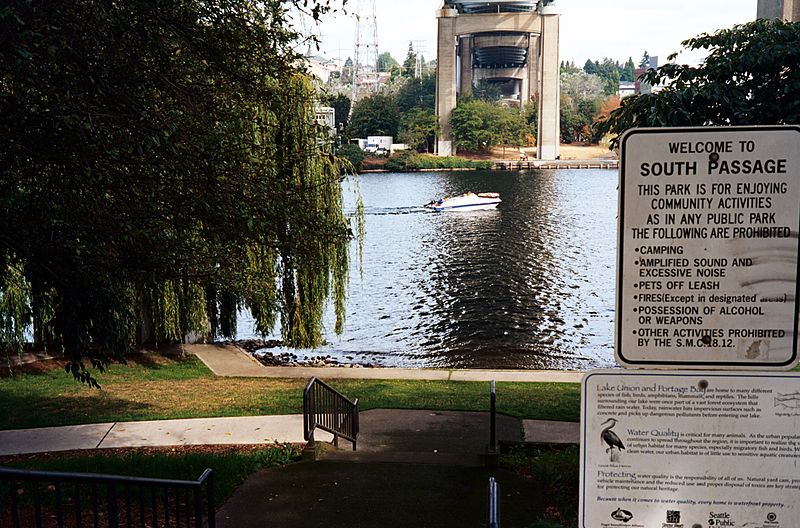
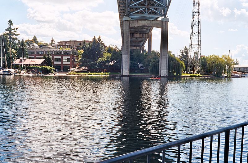
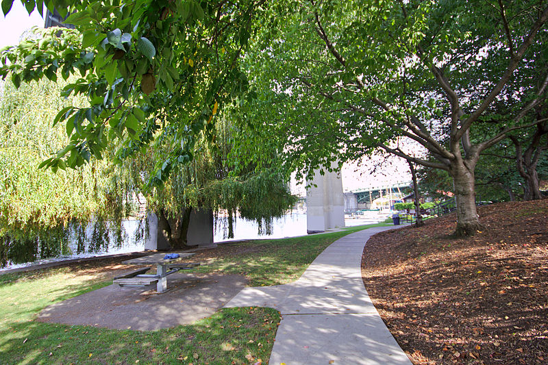
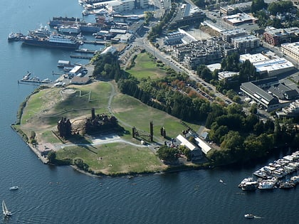
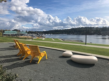
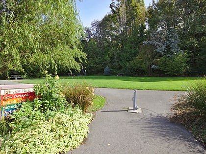
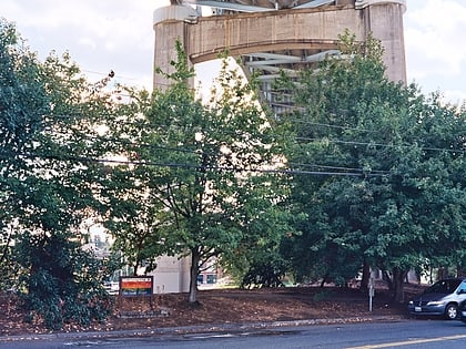
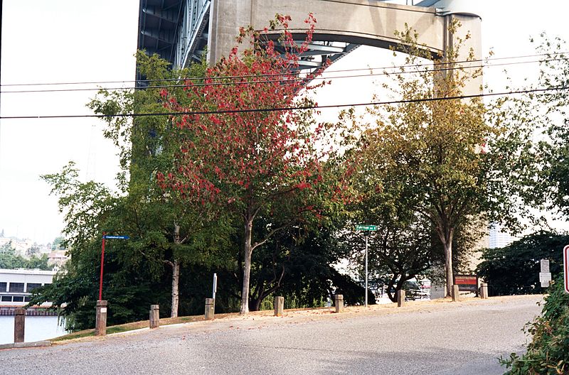
South Passage Point Park is a 0.9-acre park located in the Eastlake neighborhood of Seattle, Washington, USA, directly underneath the Ship Canal Bridge on the south side of the Lake Union/Portage Bay shoreline. It was dedicated in 1977. North Passage Point Park is directly across the water on the north shore. ()
Elevation: 16 ft a.s.l.Coordinates: 47°39'8"N, 122°19'19"W
Day trips
South Passage Point Park – popular in the area (distance from the attraction)
Nearby attractions include: Gas Works Park, Broken Obelisk, Husky Stadium, Henry Art Gallery.
Frequently Asked Questions (FAQ)
Which popular attractions are close to South Passage Point Park?
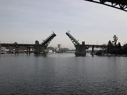
Nearby attractions include University Bridge, Seattle (3 min walk), North Passage Point Park, Seattle (4 min walk), Ship Canal Bridge, Seattle (5 min walk), Fritz Hedges Waterway Park, Seattle (7 min walk).
How to get to South Passage Point Park by public transport?
The nearest stations to South Passage Point Park:
Bus
Trolleybus
Light rail
Bus
- NE 40th St & Latona Ave NE • Lines: 31, 32 (8 min walk)
- NE 42nd St & 8th Ave NE • Lines: 31, 32 (10 min walk)
Trolleybus
- 15th Ave NE & NE 42nd St • Lines: 43, 44, 49, 70 (17 min walk)
Light rail
- U District • Lines: 1 (18 min walk)
- University of Washington • Lines: 1 (22 min walk)
