Simons Park, Chicago
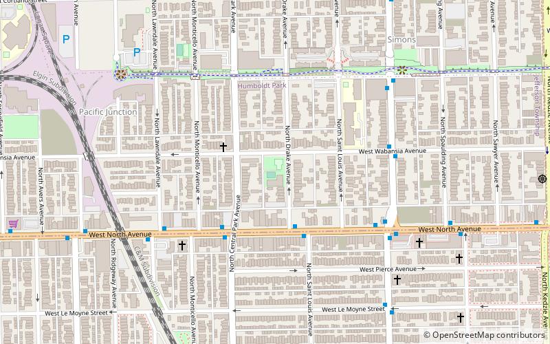
Map
Facts and practical information
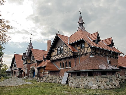
Simons Park is a municipal park located at 1640 N. Drake Avenue in the Humboldt Park community of West Side, Chicago, Illinois. ()
Created: 1920Elevation: 600 ft a.s.l.Coordinates: 41°54'41"N, 87°42'55"W
Address
1640 N Drake AveWest Side (Humboldt Park)Chicago
ContactAdd
Social media
Add
Day trips
Simons Park – popular in the area (distance from the attraction)
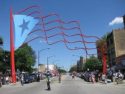
Nearby attractions include: Humboldt Park, Statue of Leif Erikson, Statue of Alexander von Humboldt, National Museum of Puerto Rican Arts and Culture.
Frequently Asked Questions (FAQ)
Which popular attractions are close to Simons Park?
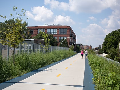
Nearby attractions include Bloomingdale Trail, Chicago (19 min walk), Statue of Leif Erikson, Chicago (20 min walk), Humboldt Park, Chicago (21 min walk), Statue of Alexander von Humboldt, Chicago (22 min walk).
How to get to Simons Park by public transport?
The nearest stations to Simons Park:
Bus
Train
Metro
Bus
- North Ave & Drake • Lines: 72 (3 min walk)
Train
- Healy (29 min walk)
Metro
- California • Lines: Blue (31 min walk)
 Rail "L"


