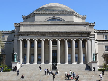
Columbia University, New York City
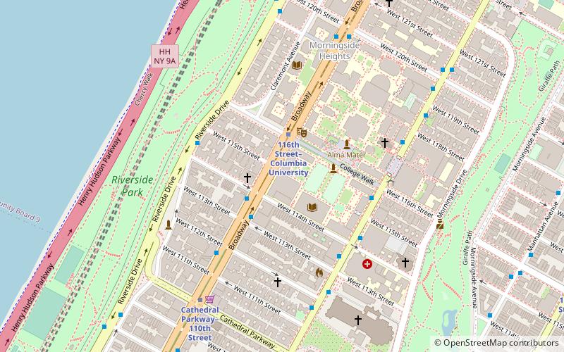
Map
Facts and practical information
The Columbia University School of the Arts, is the fine arts graduate school of Columbia University in Morningside Heights, New York. It offers Master of Fine Arts degrees in Film, Visual Arts, Theatre and Writing, as well as the Master of Arts degree in Film Studies. It also works closely with the Arts Initiative at Columbia University and organizes the Columbia University Film Festival, a week-long program of screenings, screenplay, and teleplay readings. ()
Established: 1965 (61 years ago)Coordinates: 40°48'26"N, 73°57'51"W
Day trips
Columbia University – popular in the area (distance from the attraction)
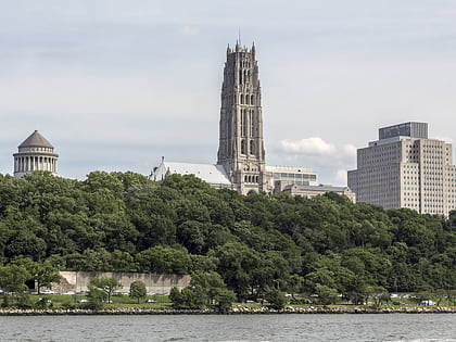
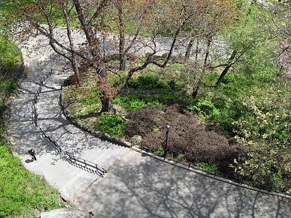
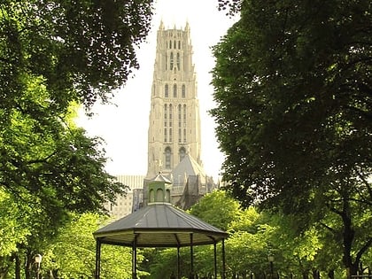
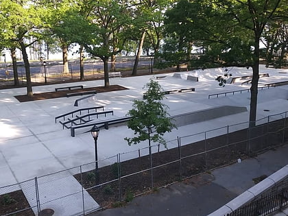
Nearby attractions include: Cathedral of Saint John the Divine, Peace Fountain, Riverside Park, Riverside Church.
Frequently Asked Questions (FAQ)
Which popular attractions are close to Columbia University?
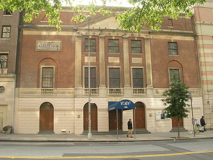
Nearby attractions include Columbia University Bookstore, New York City (1 min walk), Butler Library, New York City (2 min walk), Miller Theatre, New York City (2 min walk), Korean Methodist Church and Institute, New York City (3 min walk).
How to get to Columbia University by public transport?
The nearest stations to Columbia University:
Bus
Metro
Bus
- Broadway & West 116th Street • Lines: M104, M60 Sbs (2 min walk)
- Broadway & West 114th St • Lines: M104 (2 min walk)
Metro
- 116th Street–Columbia University • Lines: 1 (2 min walk)
- Cathedral Parkway–110th Street • Lines: 1 (7 min walk)
 Subway
 Manhattan Buses

