Kelly Butte Natural Area, Portland

Map
Facts and practical information
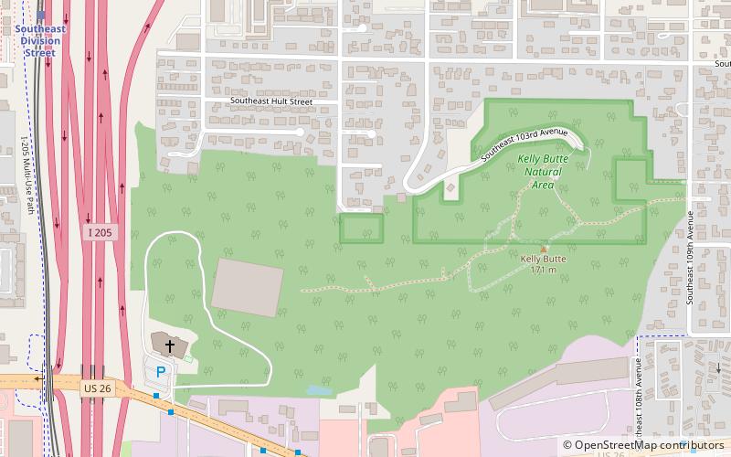
Kelly Butte Natural Area is a city park of about 23 acres in southeast Portland in the U.S. state of Oregon, just east of Interstate 205. The park is named after pioneer Clinton Kelly, who settled the area east of the Willamette River in 1848. It is part of the Boring Lava Field, an extinct Plio-Pleistocene volcanic field that contains 32 cinder cones and shield volcanoes in or near Portland. ()
Created: 1954Elevation: 377 ft a.s.l.Coordinates: 45°29'60"N, 122°33'32"W
Address
East Portland (Powellhurst-Gilbert)Portland
ContactAdd
Social media
Add
Day trips
Kelly Butte Natural Area – popular in the area (distance from the attraction)
Nearby attractions include: Mall 205, Fubonn Shopping Center, Eastport Plaza, Ed Benedict Park.
Frequently Asked Questions (FAQ)
Which popular attractions are close to Kelly Butte Natural Area?
Nearby attractions include Ed Benedict Park, Portland (9 min walk), Portland Memory Garden, Portland (9 min walk), Earl Boyles Park, Portland (19 min walk).
How to get to Kelly Butte Natural Area by public transport?
The nearest stations to Kelly Butte Natural Area:
Bus
Light rail
Bus
- 10000 Block Southeast Powell • Lines: 9 (7 min walk)
- Southeast Division & 103rd • Lines: 2 (8 min walk)
Light rail
- Southeast Division Street • Lines: Green (12 min walk)


