Earl Boyles Park, Portland
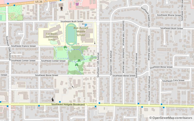
Map

Map

Facts and practical information
Earl Boyles Park is a 7.84-acre public park in Portland, Oregon's Lents neighborhood, in the United States. ()
Elevation: 249 ft a.s.l.Coordinates: 45°29'33"N, 122°32'53"W
Address
East Portland (Lents)Portland
ContactAdd
Social media
Add
Day trips
Earl Boyles Park – popular in the area (distance from the attraction)
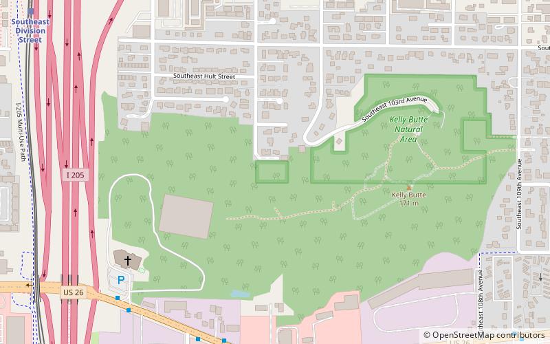
Nearby attractions include: Beggars Tick Wildlife Refuge, Ed Benedict Park, Portland Memory Garden, Kelly Butte Natural Area.
Frequently Asked Questions (FAQ)
Which popular attractions are close to Earl Boyles Park?
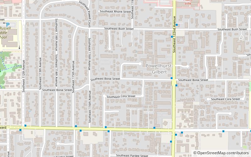
Nearby attractions include Powellhurst-Gilbert, Portland (9 min walk), Ed Benedict Park, Portland (14 min walk), Portland Memory Garden, Portland (14 min walk), Kelly Butte Natural Area, Portland (19 min walk).
How to get to Earl Boyles Park by public transport?
The nearest stations to Earl Boyles Park:
Bus
Light rail
Bus
- Southeast Holgate & 112th • Lines: 17 (5 min walk)
- Southeast Powell & 112th • Lines: 9 (8 min walk)
Light rail
- Southeast Holgate Boulevard • Lines: Green (23 min walk)
- Lents Town Center/Southeast Foster Road • Lines: Green (32 min walk)


