Silverado Park, Long Beach

Map
Facts and practical information
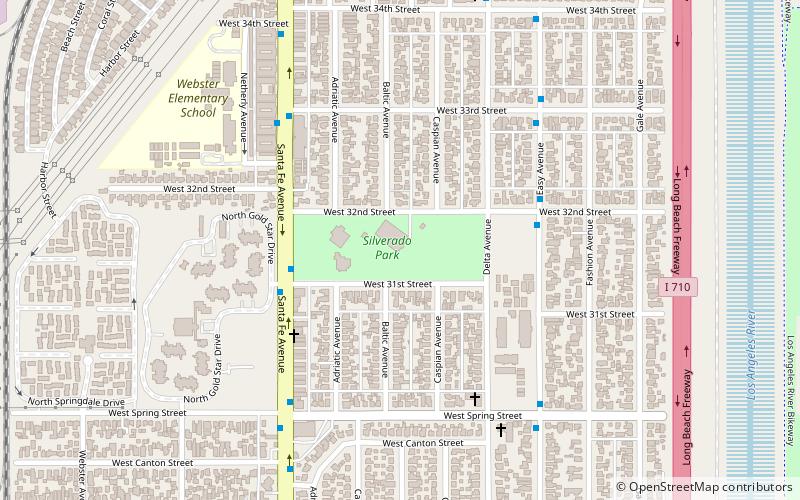
Silverado Park is a city-operated park of 11.8 acres in the West-Side area of Long Beach, California. It was built in the 1930s under the auspices of the Works Progress Administration. It is in an area with increased crime rates although events such as a children's Christmas party have also taken place there. In 2005 the park was part of a study conducted by CSULB biologists on the behavior of house finches in heavily urbanized environments. ()
Elevation: 23 ft a.s.l.Coordinates: 33°48'53"N, 118°12'47"W
Day trips
Silverado Park – popular in the area (distance from the attraction)
Nearby attractions include: Terrace Theater, Second Church of Christ, Signal Hill, Bembridge House.
Frequently Asked Questions (FAQ)
How to get to Silverado Park by public transport?
The nearest stations to Silverado Park:
Bus
Light rail
Bus
- Willow & Caspian Northwest • Lines: 104 (18 min walk)
- Adriatic & Willow Southwest • Lines: 104 (19 min walk)
Light rail
- Wardlow • Lines: A (27 min walk)


