Long Beach Golf Learning Center, Long Beach

Gallery (1)
Map
Map
Facts and practical information
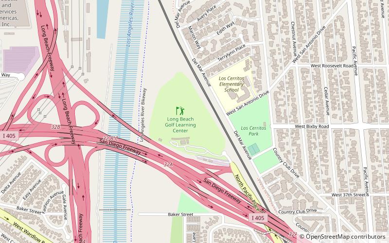
Long Beach Golf Learning Center (address: 3701 Pacific Pl) is a place located in Long Beach (California state) and belongs to the category of golf.
It is situated at an altitude of 39 feet, and its geographical coordinates are 33°49'37"N latitude and 118°12'7"W longitude.
Planning a visit to this place, one can easily and conveniently get there by public transportation. Long Beach Golf Learning Center is a short distance from the following public transport stations: Wardlow (light rail, 16 min walk).
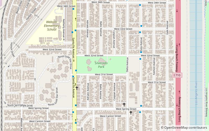
Among other places and attractions worth visiting in the area are: Los Cerritos Ranch House (museum, 21 min walk), Dana Library (library, 26 min walk), Silverado Park (park, 27 min walk).
Coordinates: 33°49'37"N, 118°12'7"W
Getting there by public transportation
Public transportation stops near this location
- Light rail
 Light rail
- Calculate routeWardlow 16 min walk
Day trips


Frequently Asked Questions (FAQ)
How to get to Long Beach Golf Learning Center by public transport?
The nearest stations to Long Beach Golf Learning Center:
Light rail
Light rail
- Wardlow • Lines: A (16 min walk)