Mill Ends Park, Portland
Map

Gallery

Facts and practical information
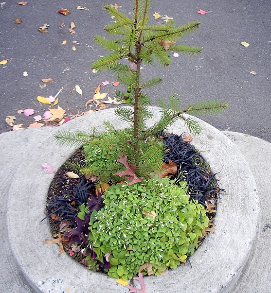
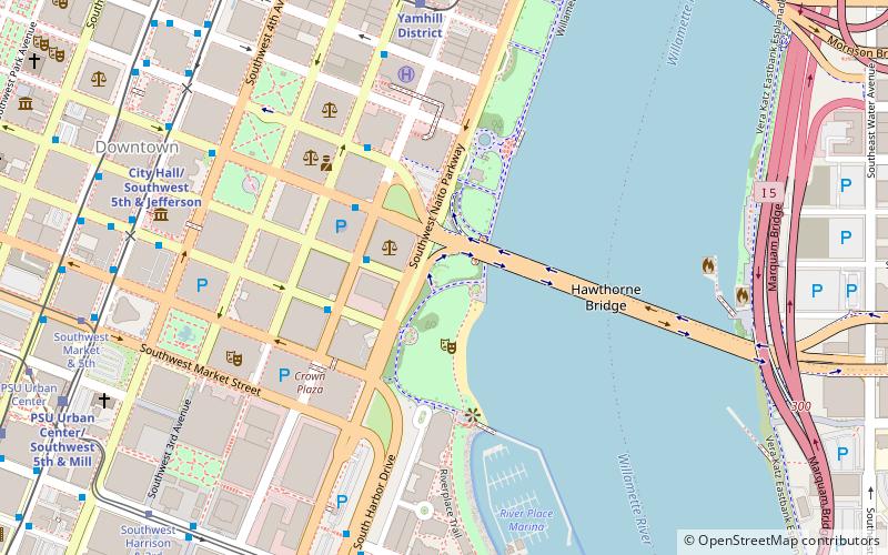
Mill Ends Park is a tiny urban park, consisting of one tree, located in the median strip of SW Naito Parkway, approaching esplanade along the Willamette River near SW Taylor Street in downtown Portland, Oregon, United States. The park was a small circle 2 ft across, with a total area of 452 sq in. It is the smallest park in the world, according to the Guinness Book of Records, which first granted it this recognition in 1971. ()
Day trips
Mill Ends Park – popular in the area (distance from the attraction)
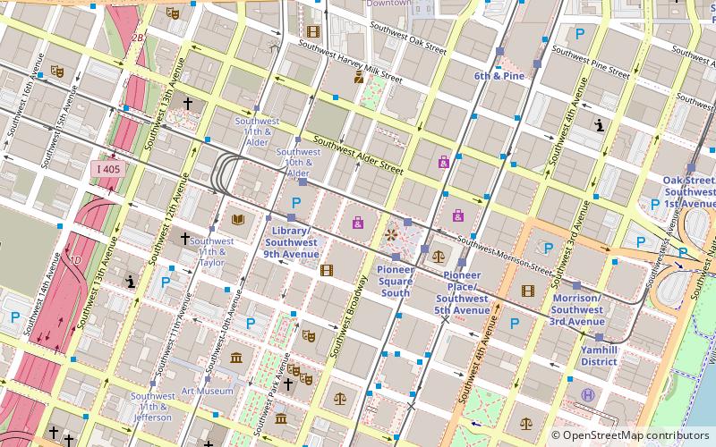
Nearby attractions include: Pioneer Place, Silverado, Nordstrom, Arlene Schnitzer Concert Hall.
Frequently Asked Questions (FAQ)
Which popular attractions are close to Mill Ends Park?
Nearby attractions include World Trade Center, Portland (2 min walk), Salmon Street Springs, Portland (2 min walk), Portland Yamhill Historic District, Portland (2 min walk), Visitors Information Center, Portland (3 min walk).
How to get to Mill Ends Park by public transport?
The nearest stations to Mill Ends Park:
Light rail
Bus
Tram
Train
Light rail
- Yamhill District • Lines: Blue, Red (3 min walk)
- Morrison/Southwest 3rd Avenue • Lines: Blue, Red (5 min walk)
Bus
- Southwest 2nd & Taylor • Lines: 15, 51 (3 min walk)
- Southwest Main & 2nd • Lines: 10, 14, 2, 30, 6 (4 min walk)
Tram
- Southwest Market & 5th • Lines: B, Ns (12 min walk)
- Central Library • Lines: A, Ns (13 min walk)
Train
- Portland Union Station (23 min walk)


