Theodore Roosevelt Memorial, Portland
Facts and practical information
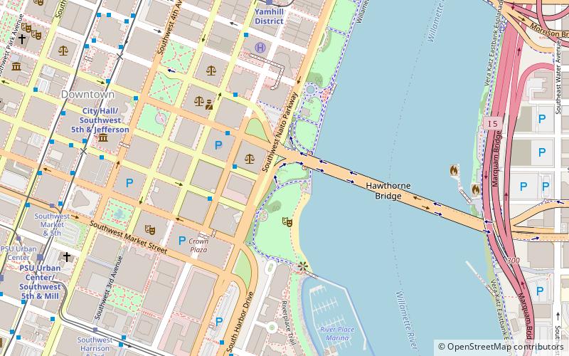
The Theodore Roosevelt Memorial is a lost monument and sculpture commemorating the 26th president of the United States, Theodore Roosevelt, as well as veterans of the Spanish–American War. It was originally installed in Portland's Battleship Oregon Park. Designed by American artist Oliver L. Barrett, the 18-foot memorial was erected in 1939, but disappeared in 1942 after being relocated temporarily during the construction of Harbor Drive. It featured a geometric tufa statue depicting a man not resembling Roosevelt, as well as a smaller realistic sculpture of him. The monument initially received a generally unfavorable reception, but was considered one of Barrett's best-known artworks. ()
Downtown PortlandPortland
- Bus
- Tram
- Light rail
- Train
 Bus
Bus
- Calculate routeSouthwest Jefferson & 1st 2 min walk
- Calculate routeSouthwest Madison & 1st 3 min walk
- Calculate routeYamhill District 7 min walk
- Calculate routeCity Hall/Southwest 5th & Jefferson 8 min walk
- Calculate routeMorrison/Southwest 3rd Avenue 9 min walk
- Calculate routeSouthwest 6th & Madison 9 min walk
- Calculate routeSouthwest Harrison Street 9 min walk
- Calculate routeSouthwest Market & 5th 9 min walk
- Calculate routeSouthwest Harrison & 3rd 9 min walk
- Calculate routePortland Union Station 28 min walk
Theodore Roosevelt Memorial – popular in the area (distance from the attraction)
Nearby attractions include: Pioneer Place, Mill Ends Park, Keller Fountain Park, Arlene Schnitzer Concert Hall.


Frequently Asked Questions (FAQ)
Which popular attractions are close to Theodore Roosevelt Memorial?
How to get to Theodore Roosevelt Memorial by public transport?
Bus
- Southwest Jefferson & 1st • Lines: 38, 45, 55, 92, 96 (2 min walk)
- Southwest Madison & 1st • Lines: 10, 14, 2, 30, 6 (3 min walk)
Light rail
- Yamhill District • Lines: Blue, Red (7 min walk)
- City Hall/Southwest 5th & Jefferson • Lines: Green, Orange (8 min walk)
Tram
- Southwest Harrison Street • Lines: A, Ns (9 min walk)
- Southwest Market & 5th • Lines: B, Ns (9 min walk)
Train
- Portland Union Station (28 min walk)