Broadway, New York City
Map
Gallery
Facts and practical information
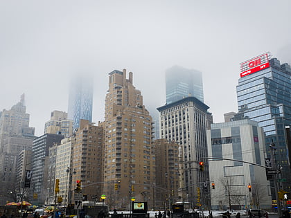
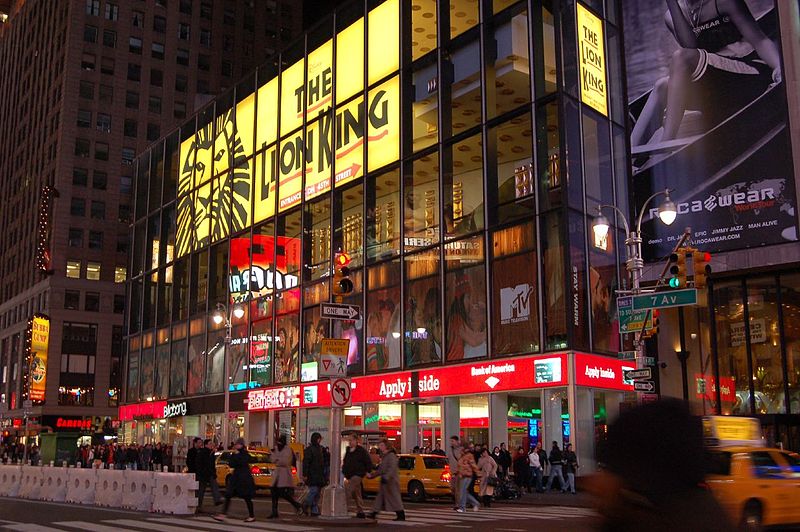
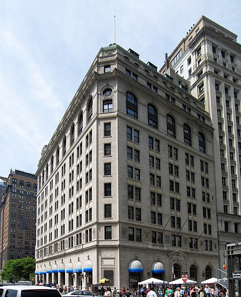
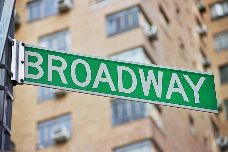
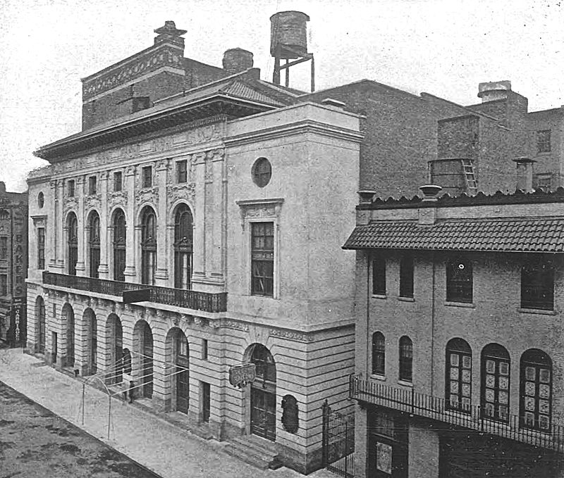
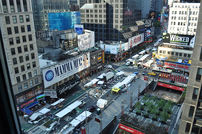
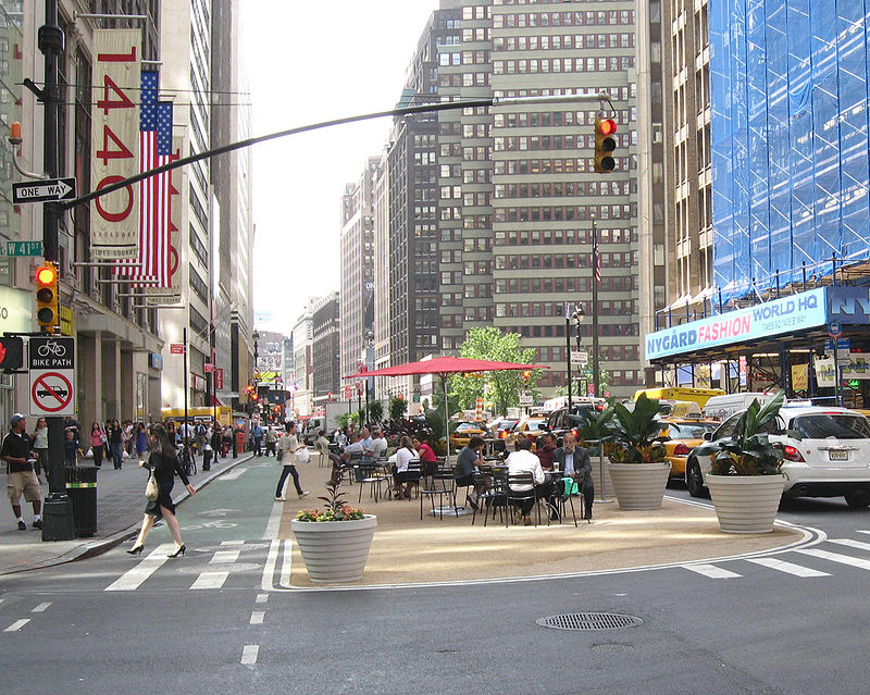
Broadway is a road in the U.S. state of New York. Broadway runs from State Street at Bowling Green for 13 mi through the borough of Manhattan and 2 mi through the Bronx, exiting north from New York City to run an additional 18 mi through the Westchester County municipalities of Yonkers, Hastings-On-Hudson, Dobbs Ferry, Irvington, and Tarrytown, and terminating north of Sleepy Hollow. ()
Address
Upper Manhattan (Upper West Side)New York City
ContactAdd
Social media
Add
Day trips
Broadway – popular in the area (distance from the attraction)
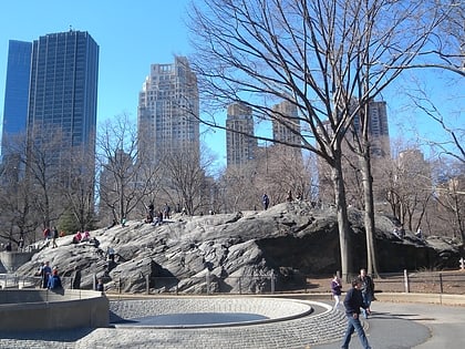
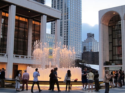
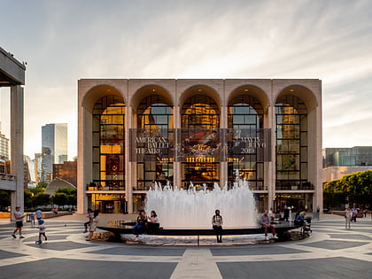
Nearby attractions include: Deutsche Bank Center, Rat Rock, Revson Fountain, The Shops at Columbus Circle.
Frequently Asked Questions (FAQ)
Which popular attractions are close to Broadway?
Nearby attractions include 15 Central Park West, New York City (1 min walk), Jazz at Lincoln Center, New York City (3 min walk), The Century, New York City (3 min walk), Deutsche Bank Center, New York City (4 min walk).
How to get to Broadway by public transport?
The nearest stations to Broadway:
Bus
Metro
Ferry
Bus
- Broadway & West 61st Street • Lines: M10, M104, M7 (2 min walk)
- Broadway & West 63rd Street • Lines: M104, M7 (3 min walk)
Metro
- 59th Street–Columbus Circle • Lines: 1, A, B, C, D (4 min walk)
- 66th Street–Lincoln Center • Lines: 1, 2 (6 min walk)
Ferry
- Midtown/West 39th Street (34 min walk)



 Subway
 Manhattan Buses
