Boston Public Garden, Boston
Map
Gallery
Facts and practical information
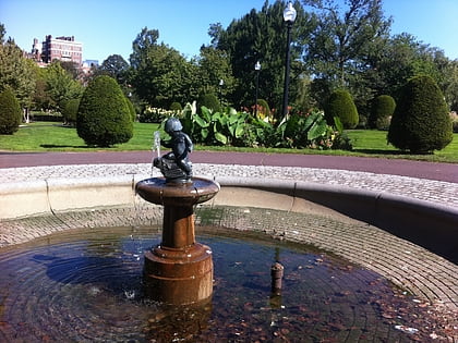
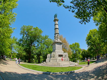
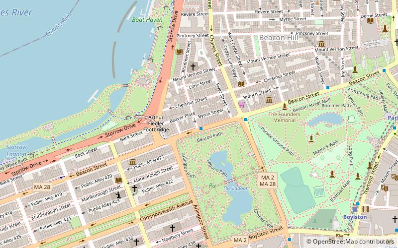
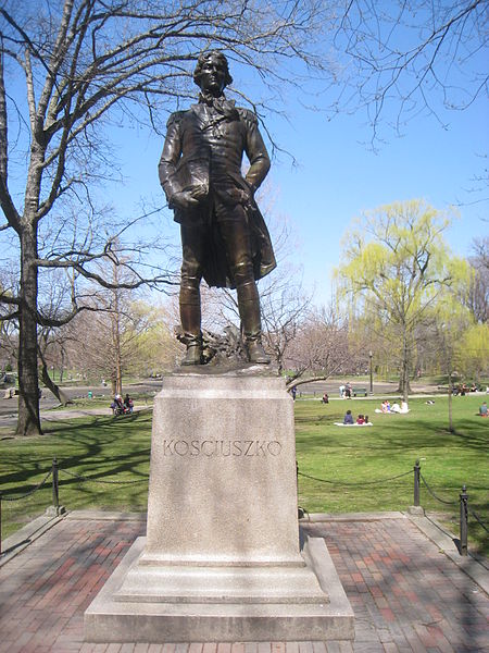
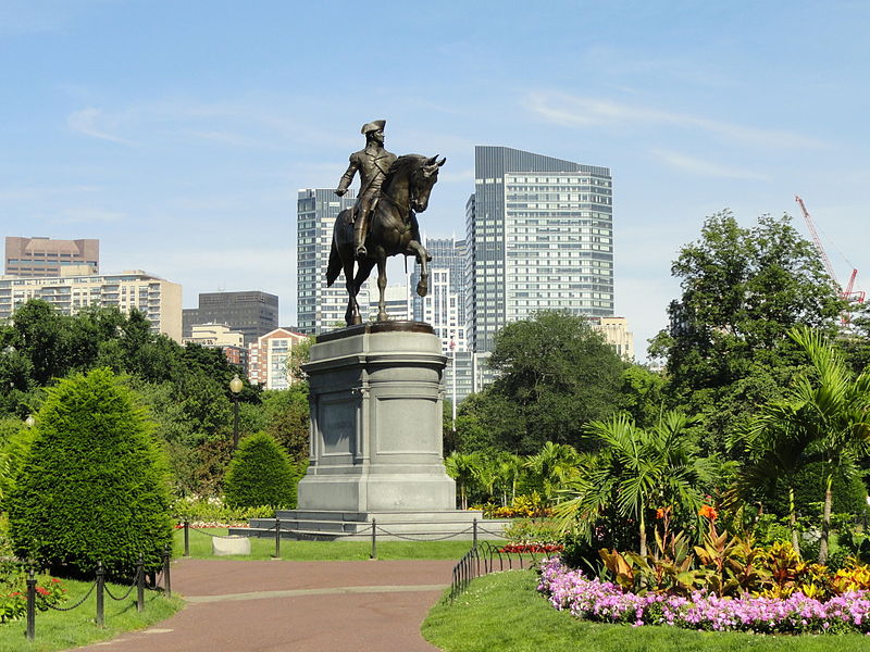
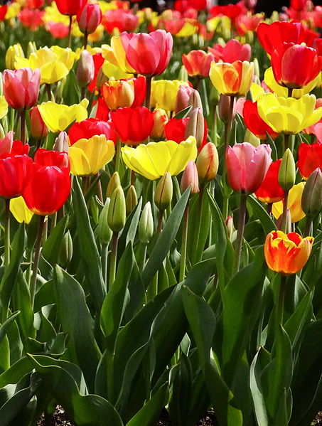
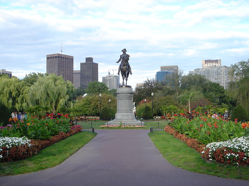
The Public Garden, also known as Boston Public Garden, is a large park in the heart of Boston, Massachusetts, adjacent to Boston Common. It is a part of the Emerald Necklace system of parks, and is bounded by Charles Street and Boston Common to the east, Beacon Street and Beacon Hill to the north, Arlington Street and Back Bay to the west, and Boylston Street to the south. The Public Garden was the first public botanical garden in America. ()
Day trips
Boston Public Garden – popular in the area (distance from the attraction)
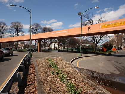
Nearby attractions include: Boston Common, Boston Public Garden Foot Bridge, Boy and Bird Fountain, Oneida Football Club Monument.
Frequently Asked Questions (FAQ)
Which popular attractions are close to Boston Public Garden?
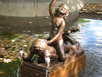
Nearby attractions include Boston Public Garden Foot Bridge, Boston (1 min walk), Swan Boats, Boston (1 min walk), Triton Babies Fountain, Boston (2 min walk), Bagheera Fountain, Boston (2 min walk).
How to get to Boston Public Garden by public transport?
The nearest stations to Boston Public Garden:
Light rail
Bus
Metro
Train
Light rail
- Arlington • Lines: B, C, D, E (5 min walk)
- Boylston • Lines: B, C, D, E (8 min walk)
Bus
- Arlington St @ Saint James Ave • Lines: 9 (6 min walk)
- Saint James Ave @ Arlington St • Lines: 504, 55 (6 min walk)
Metro
- Chinatown • Lines: Orange (11 min walk)
- Park Street • Lines: Red (11 min walk)
Train
- Boston Back Bay (14 min walk)
- Boston South Station (20 min walk)



 MBTA Subway


