Boylston Street, Boston
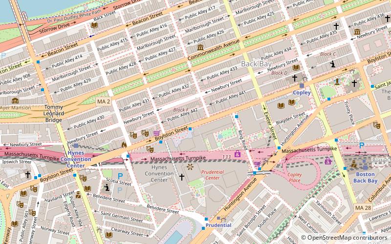
Map
Gallery
Facts and practical information
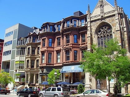
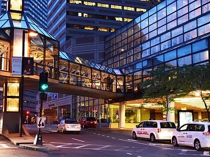
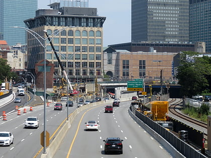
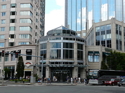
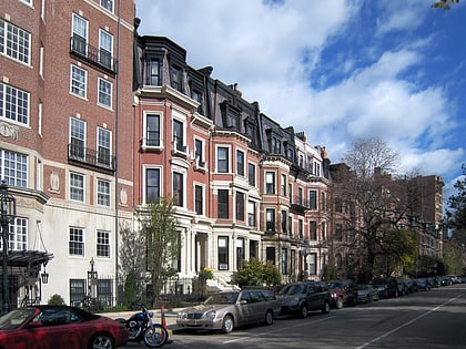
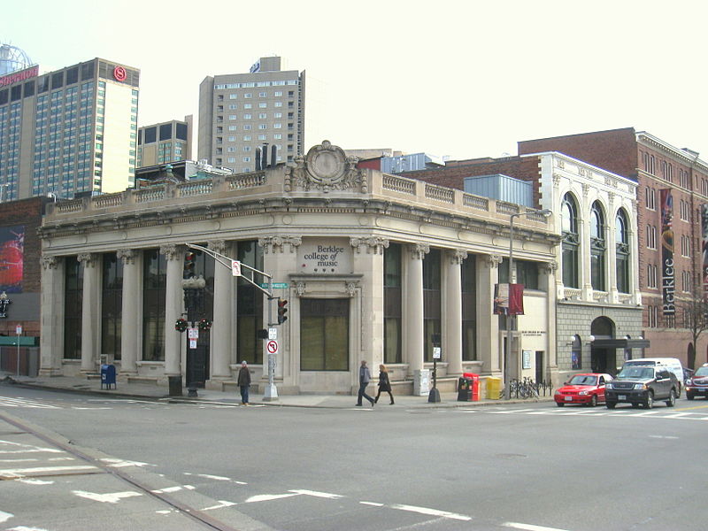
Boylston Street is a major east–west thoroughfare in the city of Boston, Massachusetts. The street begins in Boston's Chinatown neighborhood, forms the southern border of the Boston Public Garden and Boston Common, runs through Back Bay, and ends in Boston's Fenway neighborhood. ()
Day trips
Boylston Street – popular in the area (distance from the attraction)
Nearby attractions include: Newbury Street, Copley Place, Skywalk Observatory, Trinity Church.
Frequently Asked Questions (FAQ)
When is Boylston Street open?
Boylston Street is open:
- Monday 10 am - 6 pm
- Tuesday 10 am - 7 pm
- Wednesday 10 am - 9 pm
- Thursday 10 am - 9 pm
- Friday 10 am - 9 pm
- Saturday 10 am - 9 pm
- Sunday 11 am - 7 pm
Which popular attractions are close to Boylston Street?
Nearby attractions include Skywalk Observatory, Boston (3 min walk), 111 Huntington Avenue, Boston (5 min walk), Hynes Convention Center, Boston (5 min walk), Boston Duck Tours, Boston (5 min walk).
How to get to Boylston Street by public transport?
The nearest stations to Boylston Street:
Bus
Light rail
Train
Metro
Bus
- Ring Rd @ Boylston St • Lines: 9 (3 min walk)
- Dalton St @ Boylston St • Lines: 55 (5 min walk)
Light rail
- Prudential • Lines: E (6 min walk)
- Copley • Lines: B, C, D, E (7 min walk)
Train
- Boston Back Bay (11 min walk)
- Lansdowne (23 min walk)
Metro
- Back Bay • Lines: Orange (11 min walk)
- Massachusetts Avenue • Lines: Orange (15 min walk)

 MBTA Subway