Jamaica Pond, Boston
Map

Gallery

Facts and practical information
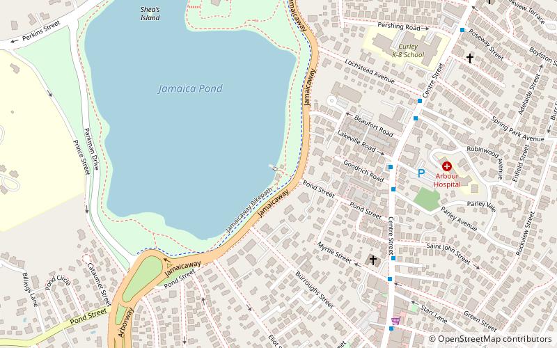
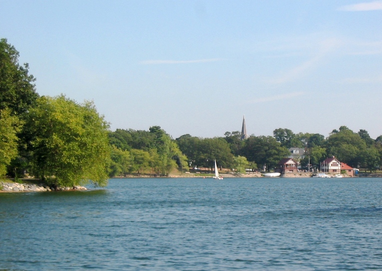
Jamaica Pond is a kettle lake, part of the Emerald Necklace of parks in Boston designed by Frederick Law Olmsted. The pond and park are in the Jamaica Plain neighborhood of Boston, close to the border of Brookline. It is the source of the Muddy River, which drains into the lower Charles River.USGS 2005 ()
Area: 69.19 acres (0.1081 mi²)Maximum depth: 53 ftElevation: 62 ft a.s.l.Coordinates: 42°18'57"N, 71°7'3"W
Address
507 JamaicawayJamaica Plain (Jamaica Hills - Pond)Boston 02130
Contact
Social media
Add
Day trips
Jamaica Pond – popular in the area (distance from the attraction)
Nearby attractions include: William J. Devine Memorial Golf Course, Loring-Greenough House, Olmsted Park, Larz Anderson Auto Museum.
Frequently Asked Questions (FAQ)
Which popular attractions are close to Jamaica Pond?
Nearby attractions include Whitehaus, Boston (9 min walk), The Whitehaus Family Record, Boston (9 min walk), The Footlight Club, Boston (10 min walk), First Church of Jamaica Plain, Boston (11 min walk).
How to get to Jamaica Pond by public transport?
The nearest stations to Jamaica Pond:
Metro
Light rail
Train
Metro
- Green Street • Lines: Orange (16 min walk)
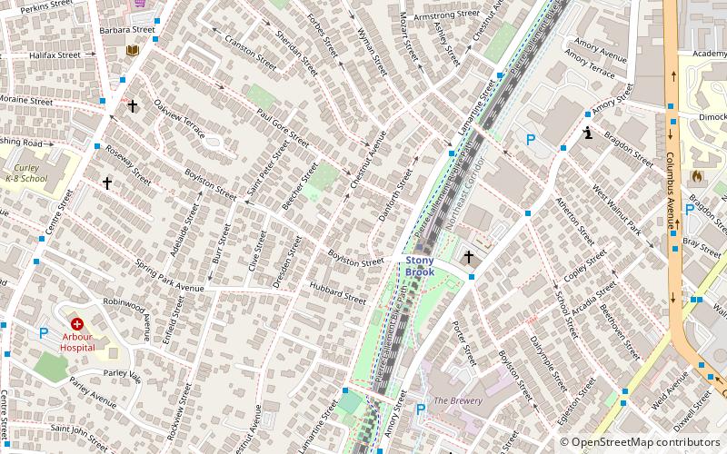
- Stony Brook • Lines: Orange (18 min walk)
Light rail
- Heath Street • Lines: E (25 min walk)
- Back of the Hill • Lines: E (26 min walk)
Train
- Forest Hills (27 min walk)

 MBTA Subway


